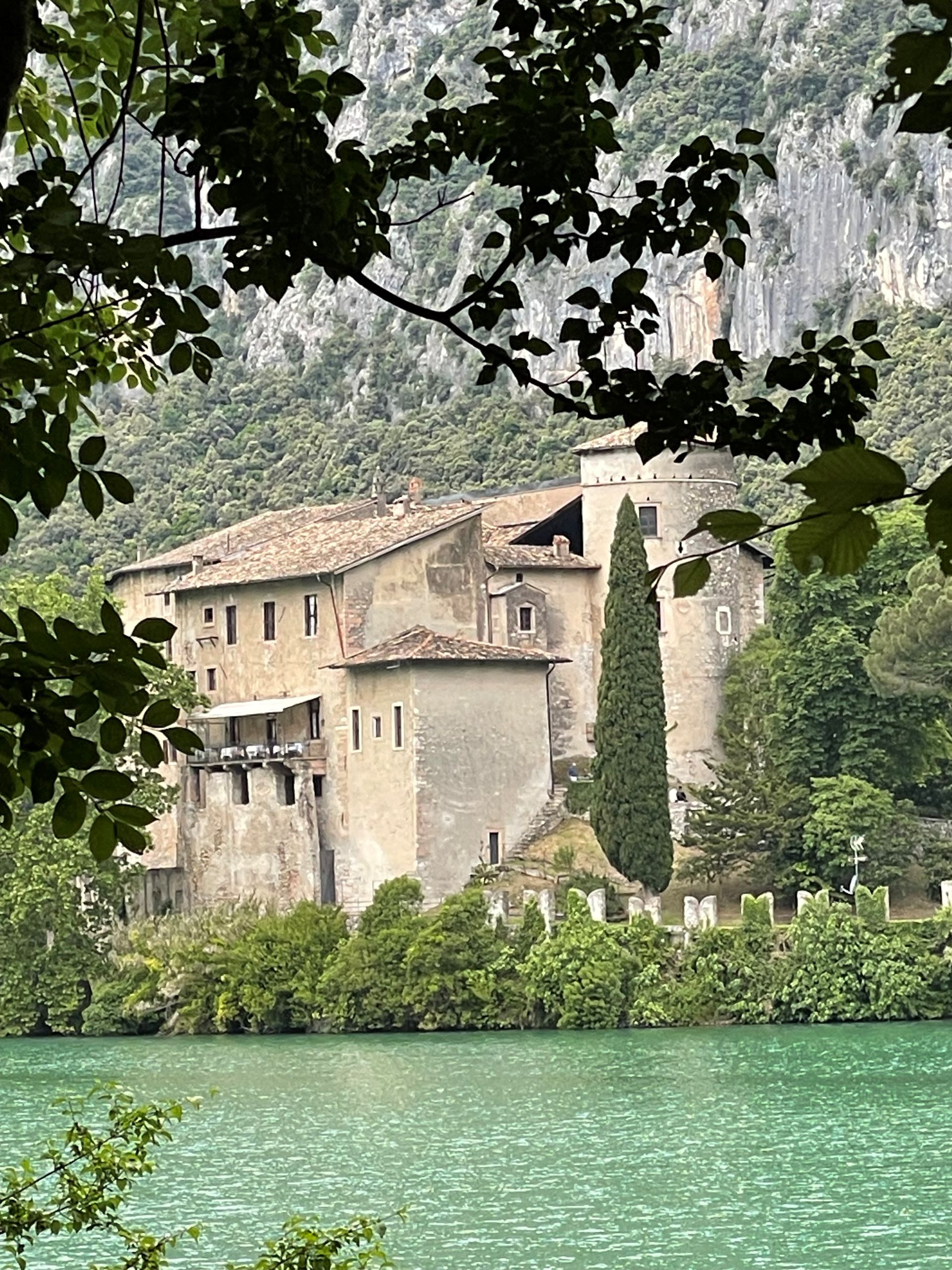
Trail Details
- 🟢 Starting Point: Arco
- 🏁 Arrival Point: Ceniga
- 📏 Distance: 20.3 km
- 🏔️ Elevation Gain: 1 m
- ⏱️ Duration: 475 min
- 🥾 Difficulty: Media
GardaTrek Top Loop 3: A Long Descent to the Sarca River
An unforgettable experience starting from the heights of Rifugio San Pietro and winding down towards the Sarca valley, offering a continuous change of scenery. This stage of the GardaTrek leads us from Monte Biaina to the valley floor, ending near the iconic ‘Roman bridge’ of Ceniga.
The trail, of medium difficulty, allows you to fully enjoy the landscape of Garda Trentino, with a gradual transition from forests to pastures, to the olive groves near the Sarca river. The ascent to Monte Biaina offers a breathtaking view of Garda Trentino.
✨ Live Lake Garda: Unique Experiences Handpicked for You
Along the way, you will encounter San Giovanni al Monte, with its traditional mountain houses nestled among woods and pastures. An excursion that regenerates body and spirit, amidst unique panoramas and the lush nature of Garda.
- Starting point: Rifugio San Pietro
- Arrival point: Ceniga
- Difficulty: Medium