Malcesine Panoramic Route: Lake View Trek
Discover the Via Panoramica of Malcesine: easy hike with breathtaking views of Lake Garda. Route, info and GPX file.
Trail Details
- Activity: Family Walk
- Starting Point: Ufficio Informazioni Malcesine · Map
- Arrival Point: Ufficio Informazioni Malcesine
- Distance: 10 km
- Elevation Gain: 380 m
- Duration: 120 min
- Difficulty: Easy
The Panoramic Tour of Malcesine: An Unforgettable Experience
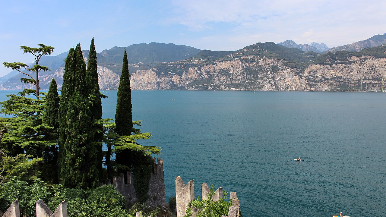
Embark on a breathtaking adventure along the Via Panoramica of Malcesine! This circular route of approximately 10 km will offer you spectacular views of Lake Garda and the surrounding mountains. Ideal for trekking and nature walks enthusiasts.
Route description:
✨ Live Lake Garda: Unique Experiences Handpicked for You
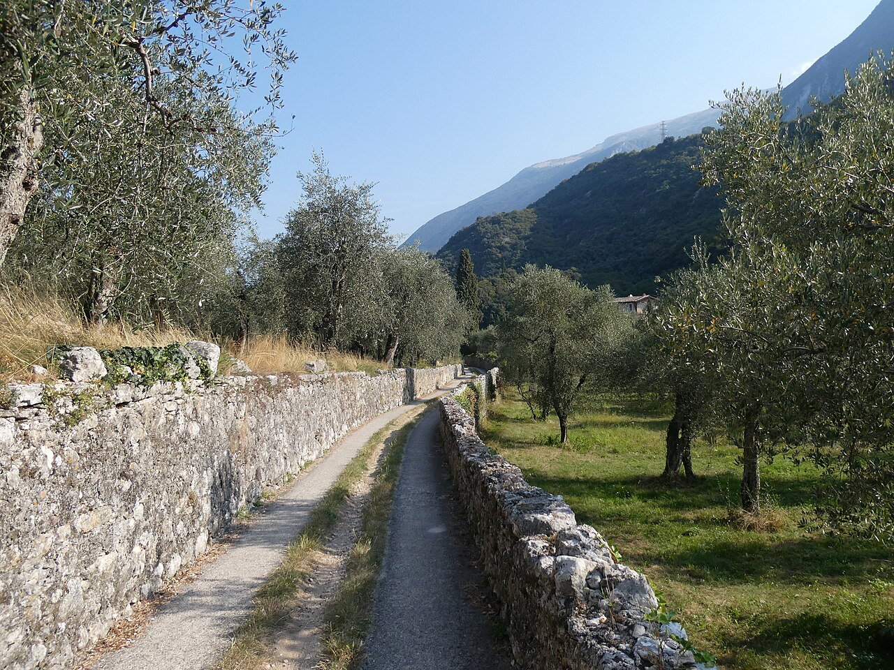
Start your hike from the Malcesine tourist information office, located at the bus station on Via Gardesana. Head south and take Via Panoramica on the left, immediately after the Hotel Ideal. The ascent, constant but not overly challenging, will take you to Passo Campiano (380 m a.s.l.) in about 5 km, where you can refill your water bottle at the fountain. Enjoy the subsequent descent along Via Navene Vecchia, which will bring you back to Malcesine. Turn left and continue until you reach Via Gardesana, the starting point of your itinerary.
- Length: 10 km (approximately)
- Elevation gain: 380 meters (approximately)
- Difficulty: Easy/Medium
Useful tips:
Ideal route for trekking and walks. Download the GPX file to follow the route with your GPS device.