Trail Details
- 🟢 Starting Point: Mori
- 🏁 Arrival Point: Mori
- 📏 Distance: 67.4 km
- 🏔️ Elevation Gain: 3157 m
- ⏱️ Duration: 1405 min
- 🥾 Difficulty: Hard
The San Rocco Trail: An Adventure Through History and Nature
Immerse yourself in the heart of lower Trentino with the San Rocco Trail, a 70 km route that intertwines history, culture, and nature. Traverse Mori, Ronzo-Chienis, Val di Gresta, and the Brentonico Plateau, discovering unique landscapes and welcoming villages.
- A community-inspired route: Born in 2020, the trail celebrates San Rocco, protector from pandemics, and enhances the territory through 28 chapels dedicated to the saint.
- Varied landscapes: Admire the legacies of the Great War, traces of the 1600 plague, historic churches, terraced fields, vineyards, and the Brentonico Plateau Natural Park.
- Useful information: Download the GPX tracks, pick up the credential in Mori for benefits, and follow the F20 signs. The trail is divided into 5 stages, which can also be done individually.
Stages: Mori – Ronzo Chienis, Ronzo Chienis – Valle San Felice, Valle San Felice – Mori Vecchio, Mori Vecchio – Sorne di Brentonico, Sorne di Brentonico – Mori.
✨ Live Lake Garda: Unique Experiences Handpicked for You
🛍️
Garda Outdoors exclusive
Join now →
€10 voucher at Mantova Village
Join the Premium Club and collect your bonus at participating stores.
Route details:
- Dog-friendly, panoramic, multi-stage, family-friendly, with refreshment points.
- Difficult, length 67.4 km, duration 23h 25min, elevation gain 3,157 m.
Recommendations: Mixed route, signposted, download the GPX track and wear trekking clothing.
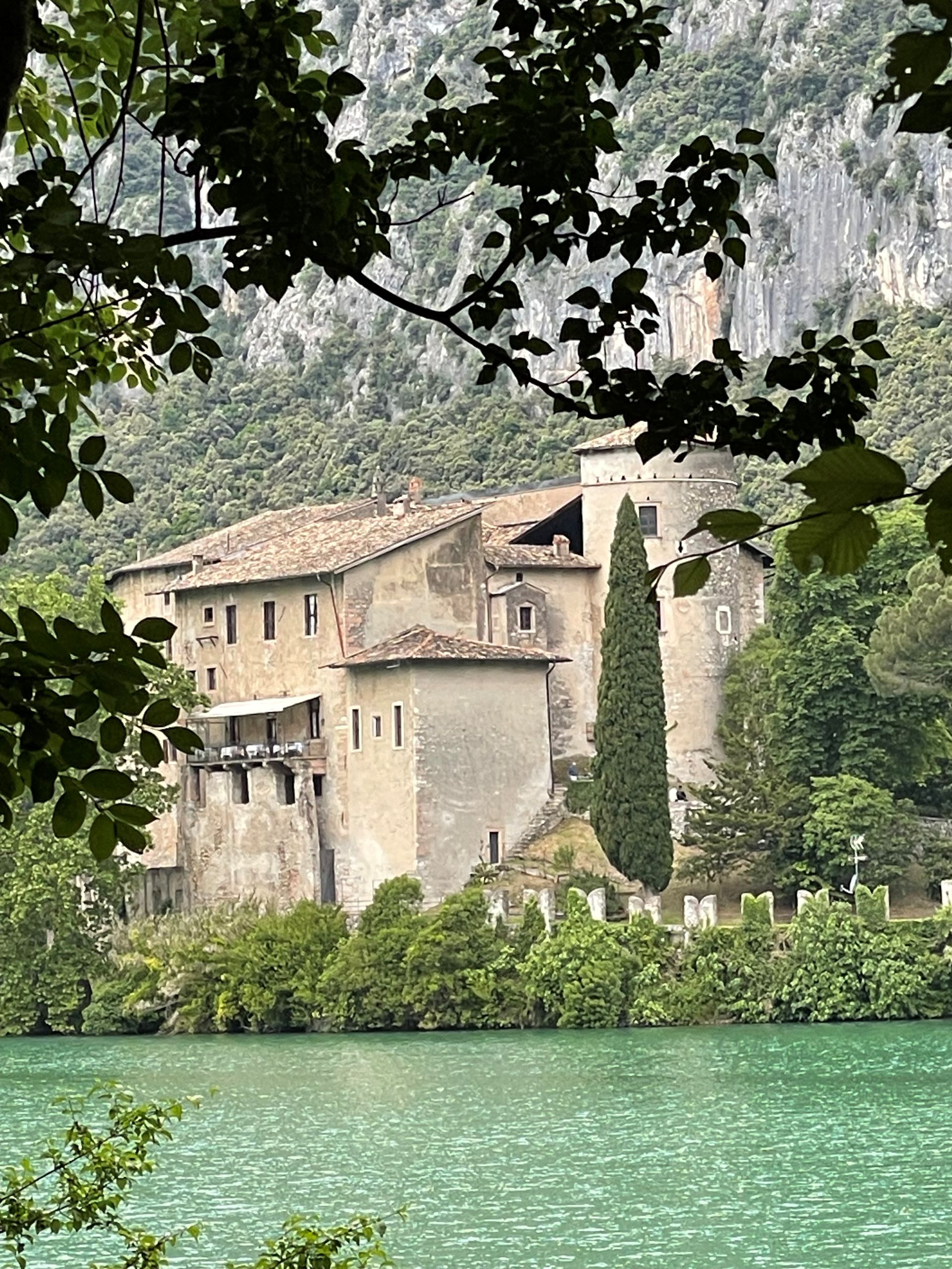
Photo Credits: Foto di Francesco Ambrosi (Public domain)
The information provided is for illustrative purposes. Trail conditions may vary, therefore we invite you to always check the weather and the status of the routes before setting off. It is advisable to use clothing, shoes and equipment suitable for mountain routes.