Few people know that the mountainous area located between Garda and Torri del Benaco offers a very panoramic but above all unique excursion.
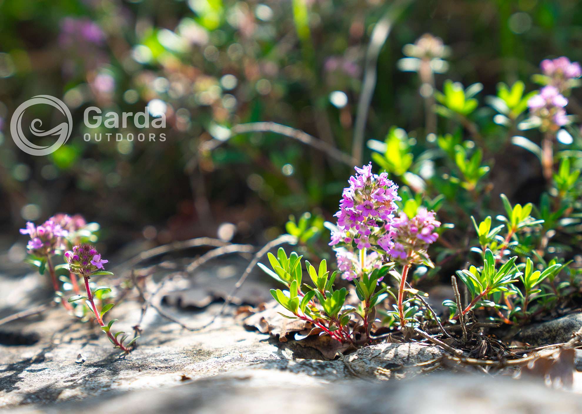
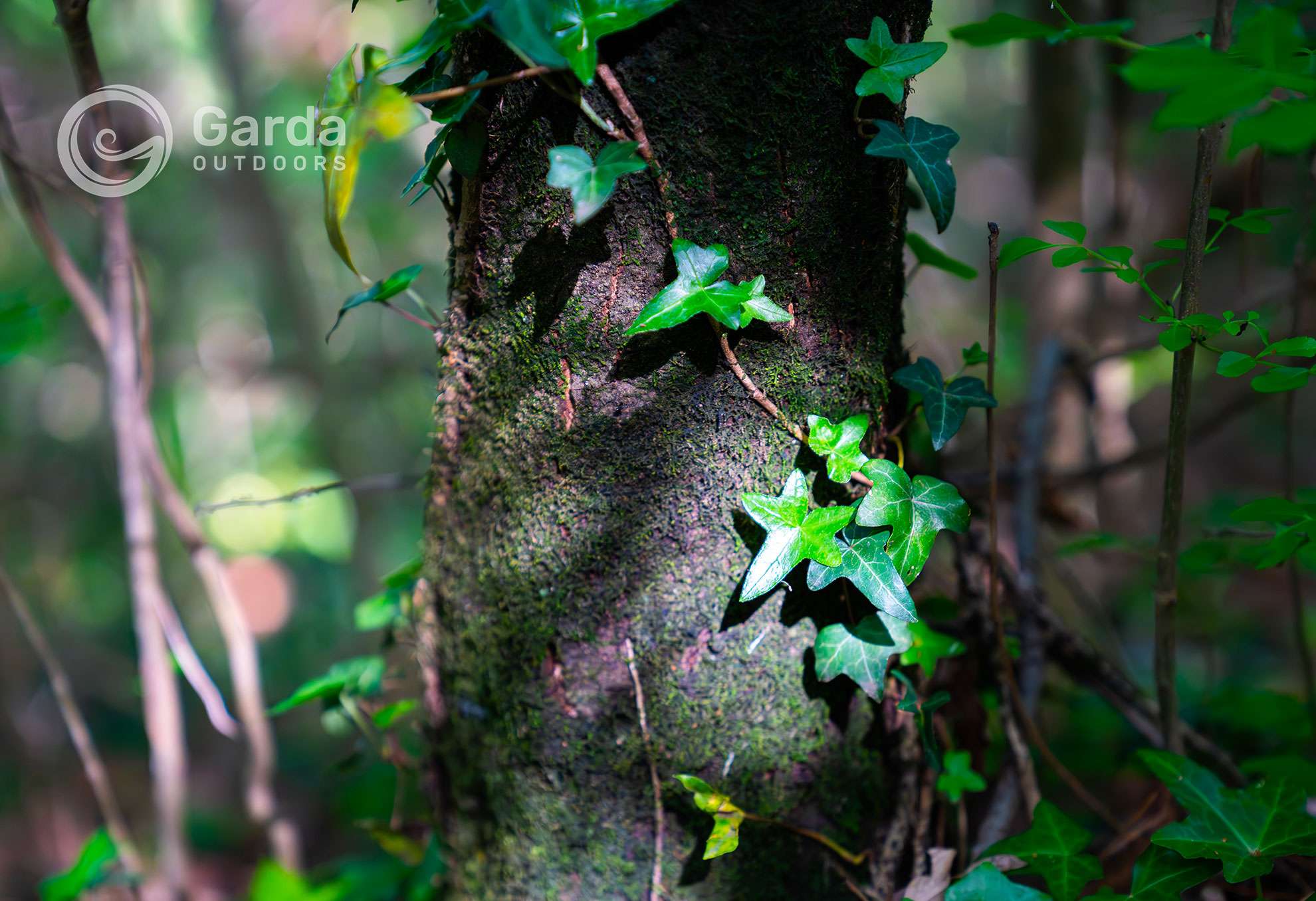
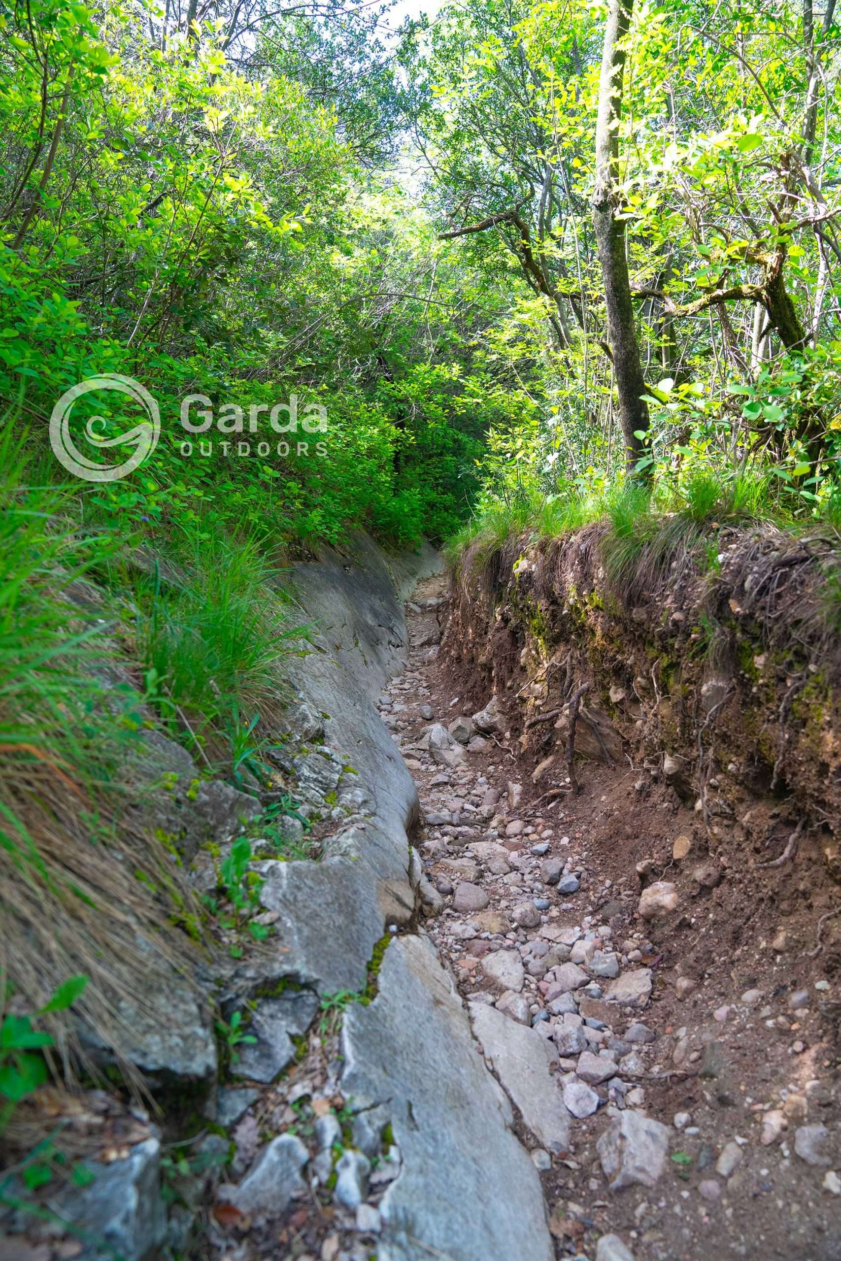
It is a path immersed in the woods where you walk between rocks smoothed by the glaciations, which still today are guardians of rock carvings dating back to the Bronze Age onwards.
You can find them under your feet and along the slopes that surround you; an incredible sensation to think that, thousands of years ago, the very earth and rocks we are treading on were lived in and visited by our ancestors, certainly with very different difficulties. This thought always opens a series of reflections, which the forest helps to make flow. You will get rich!
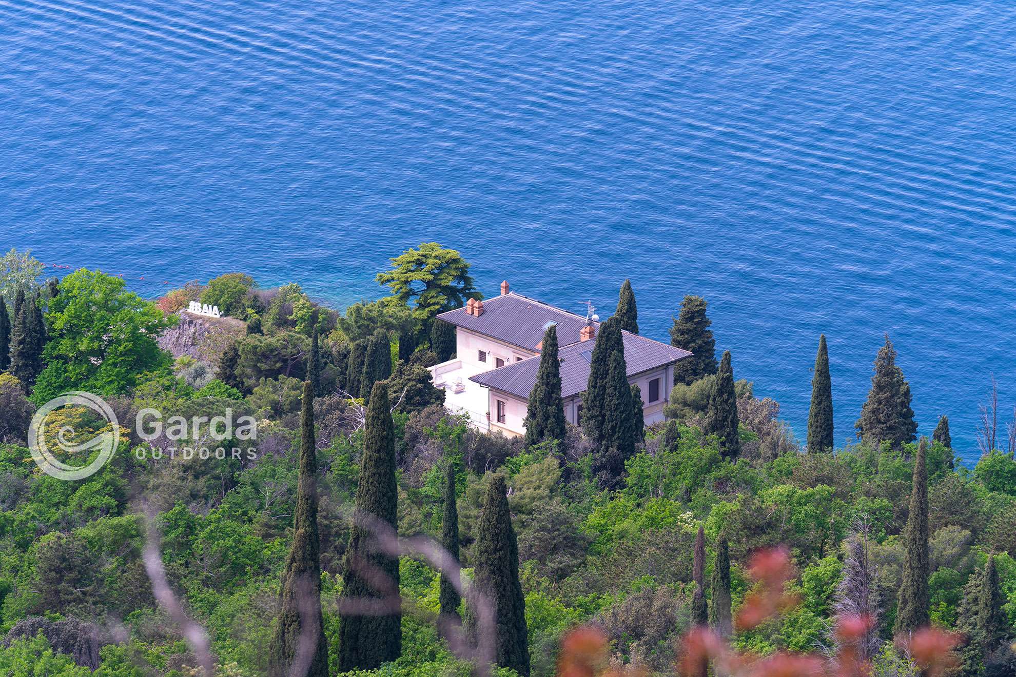
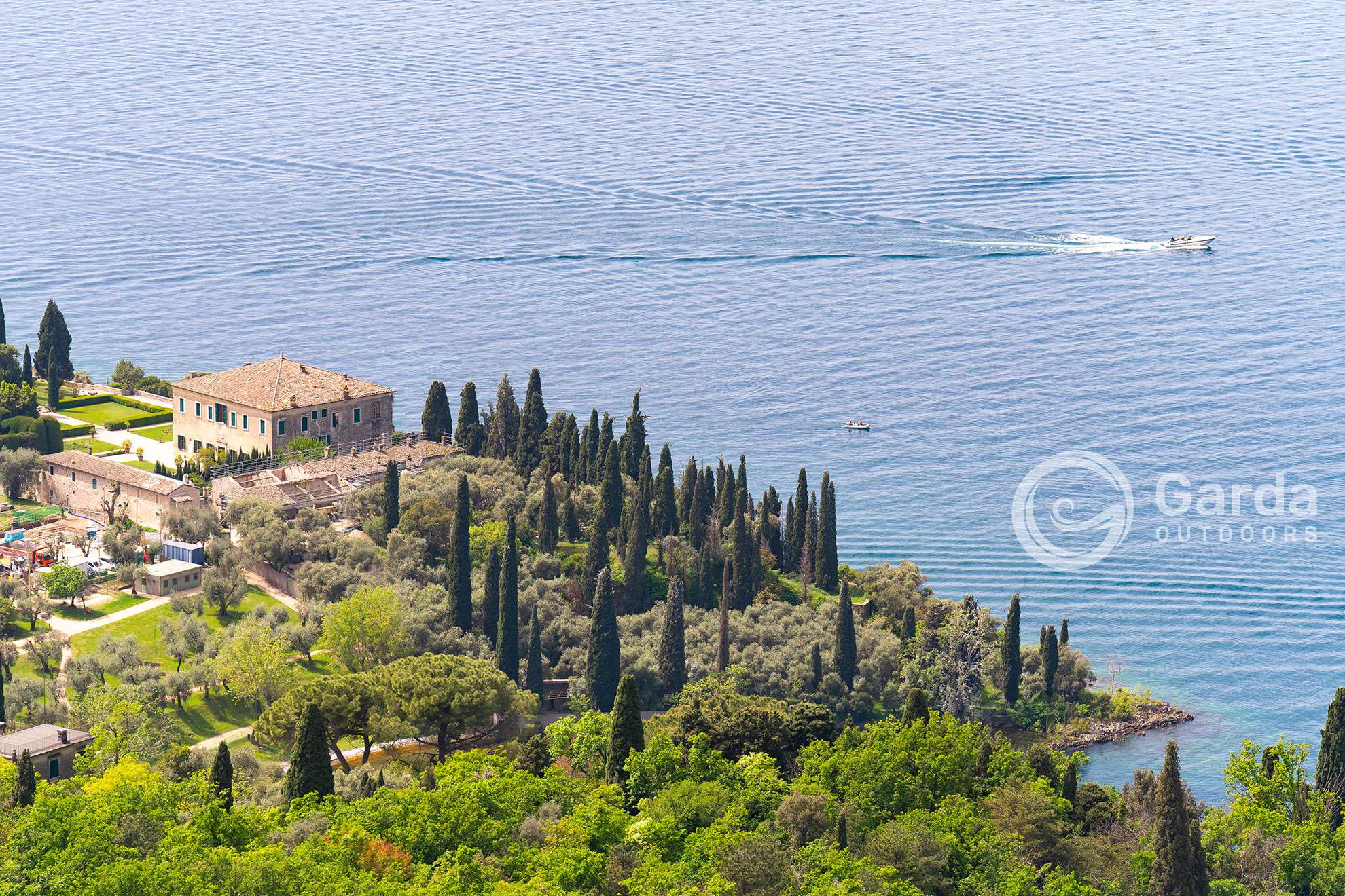
Let’s discover together how to get to the graffiti and then continue towards a breathtaking view of Punta San Vigilio, Garda and its Rocca.
The Graffiti trail
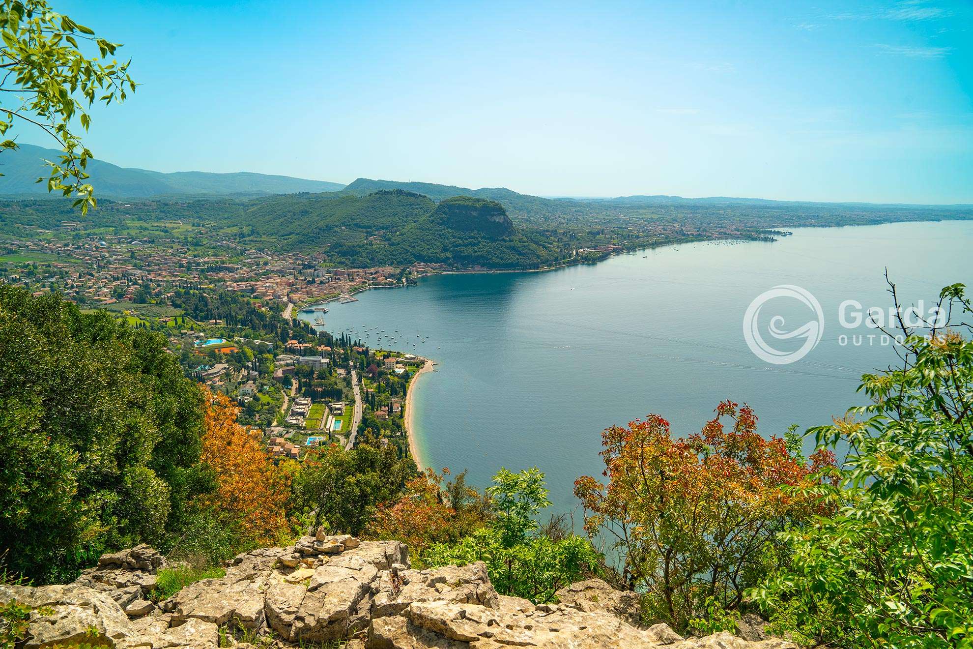
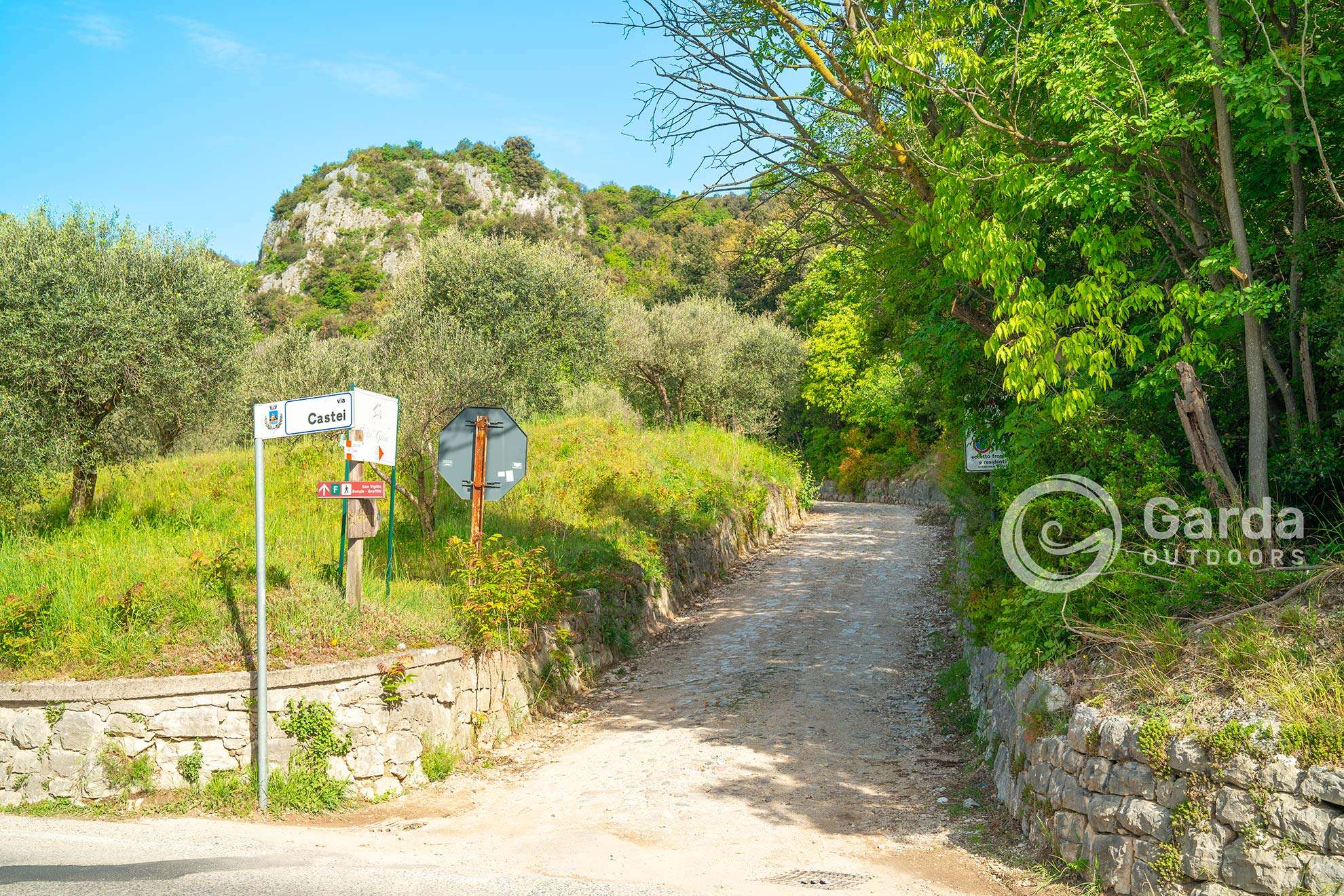
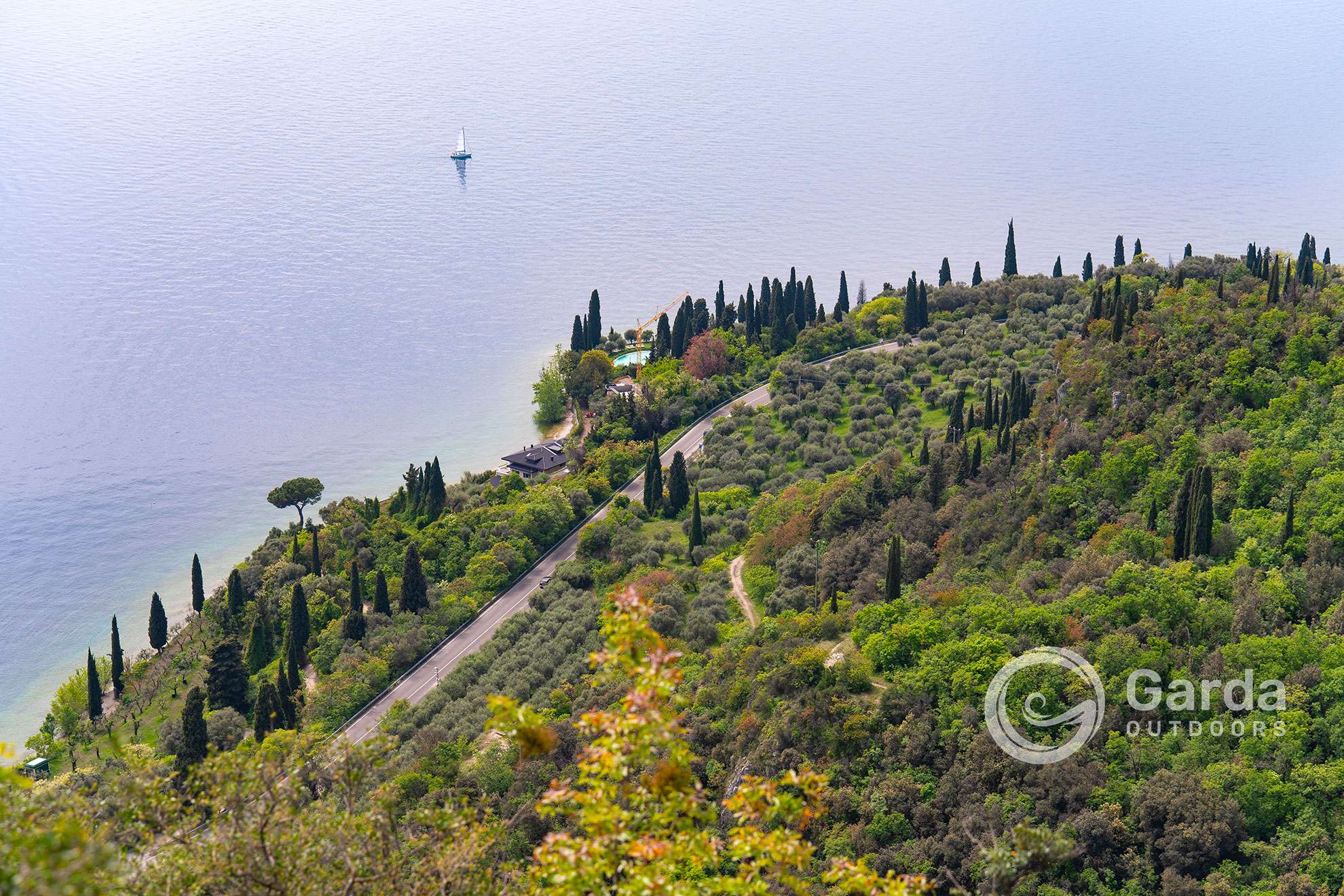
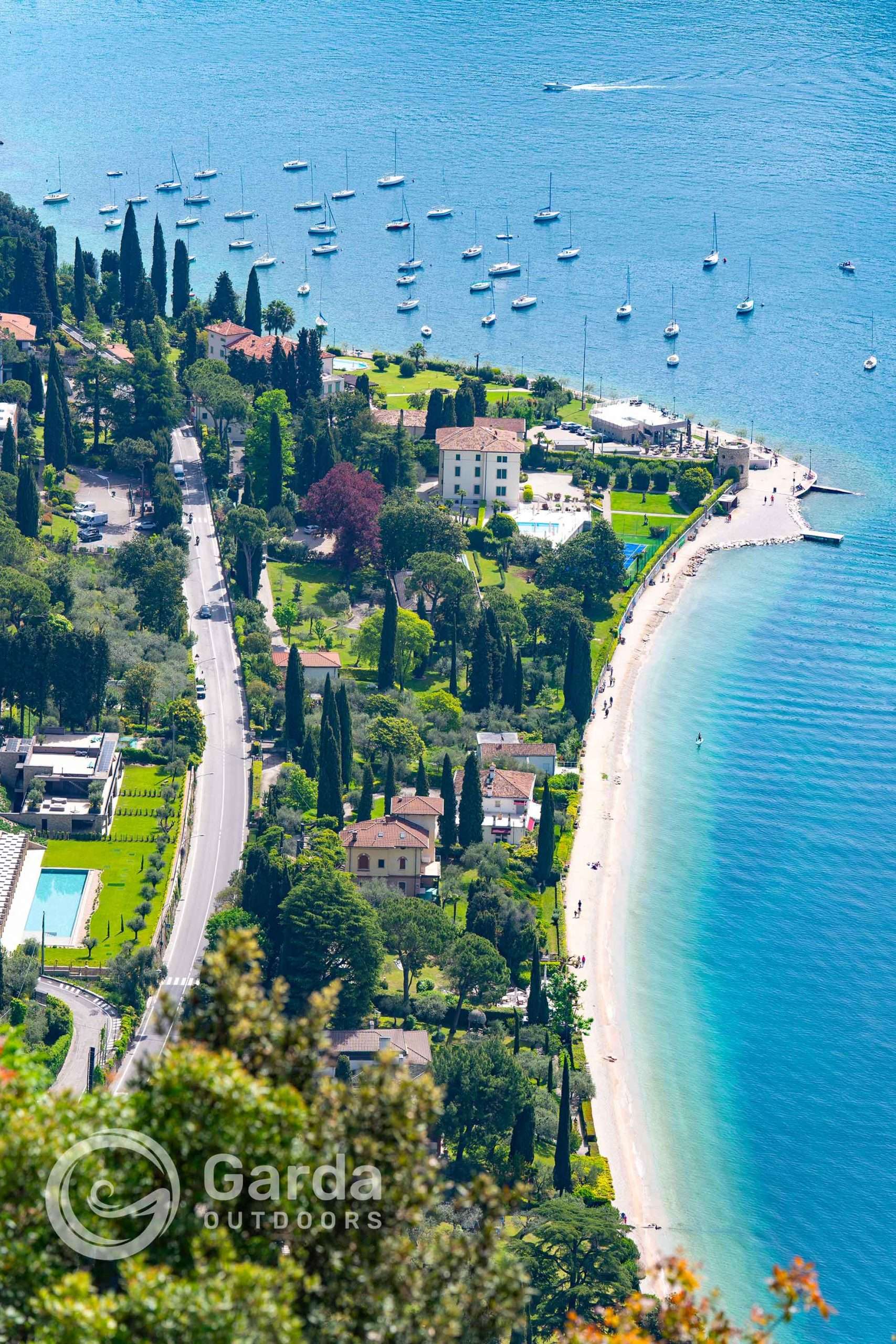
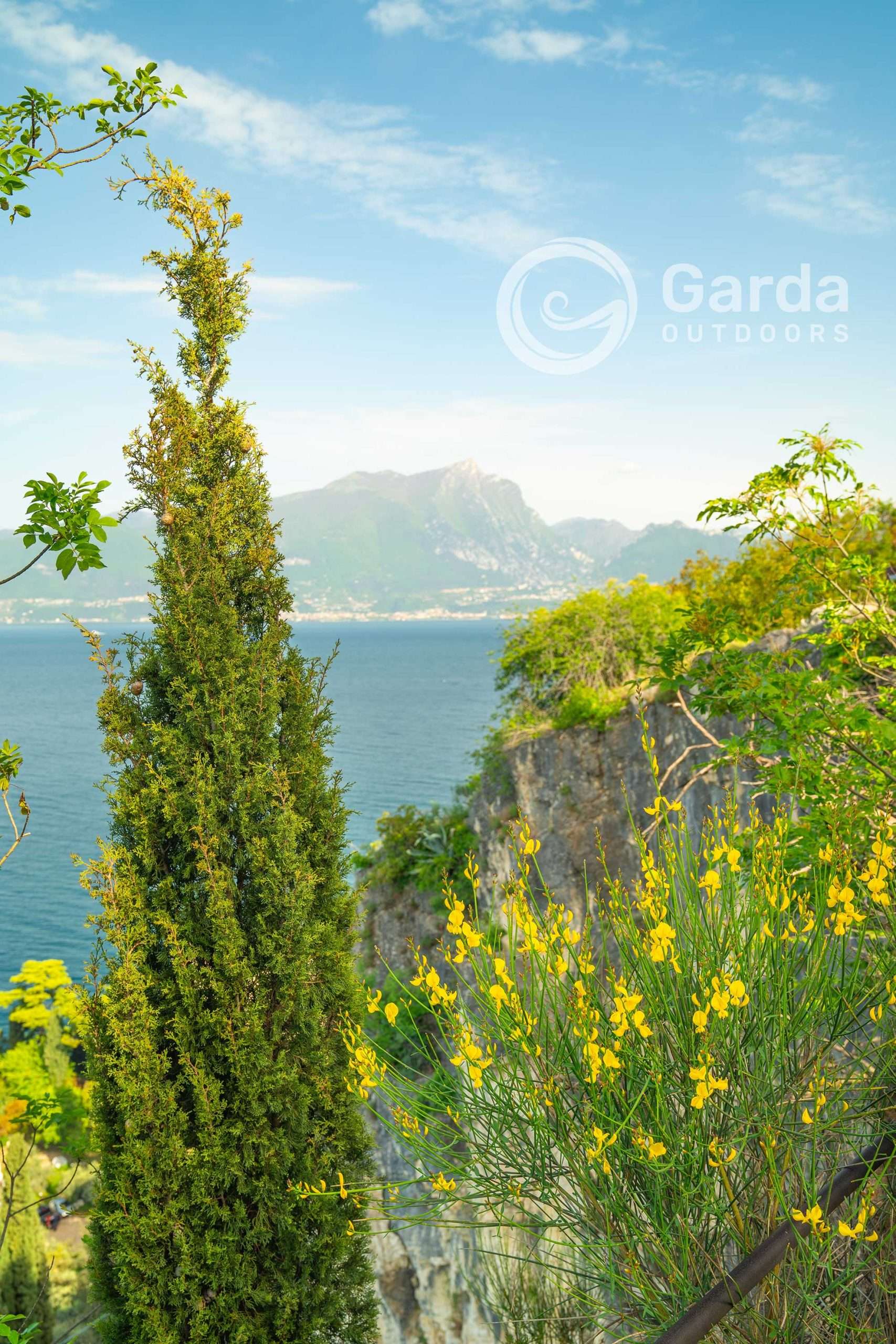
The Graffiti path starts from the state road between the town of Garda and Punta San Vigilio, in Via Castei. It is located near a curve, so to easily locate it you just need to take a look at this beautiful and clearly visible panoramic terrace (see photo below); crossing the road, Via Castei is located a few meters away to the north.
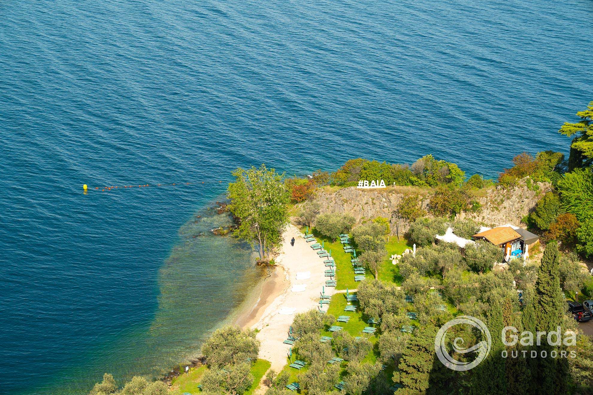
Follow the path that leads from the olive grove to a viewpoint over Punta San Vigilio and the Baia delle Sirene.

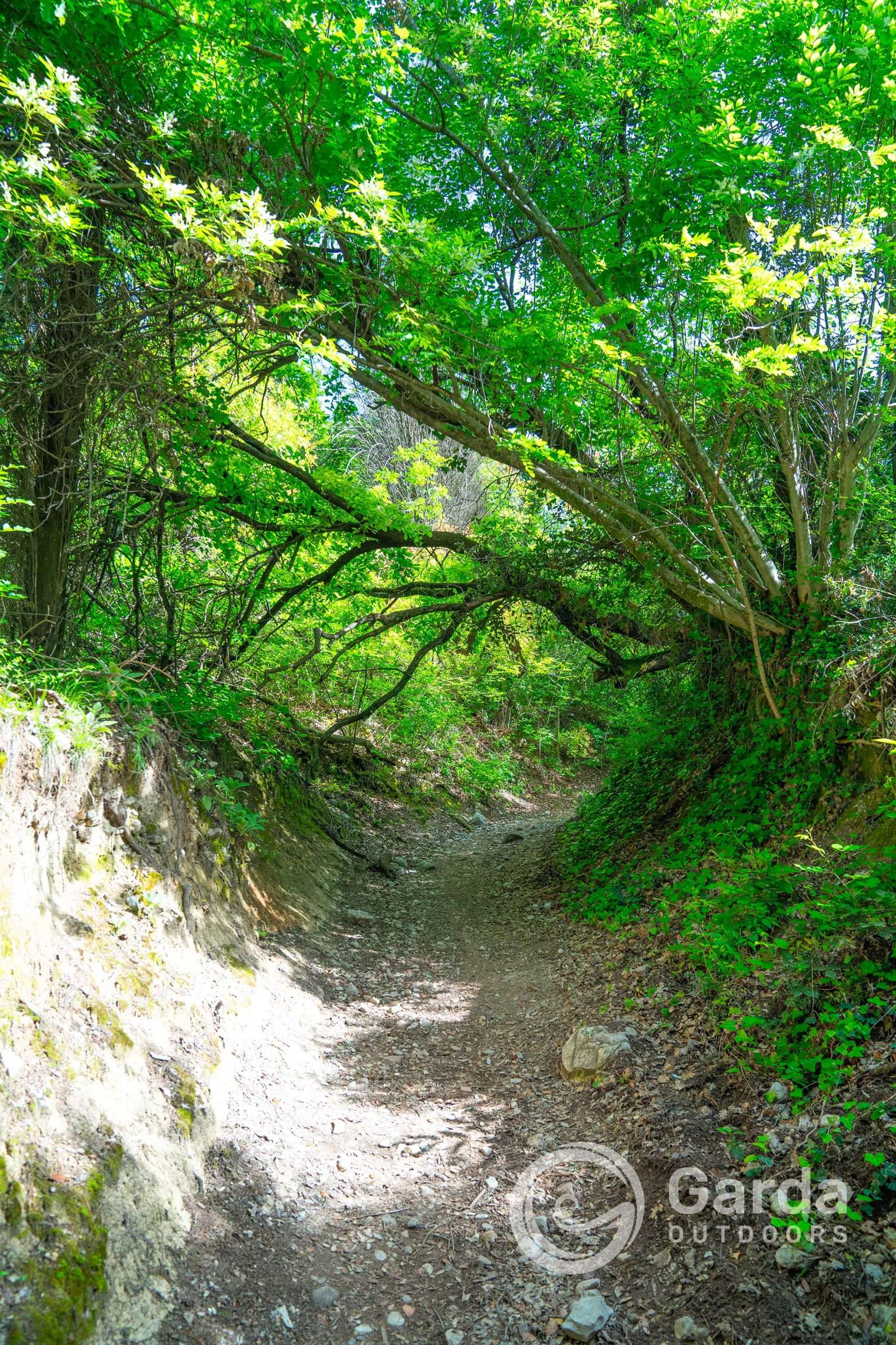
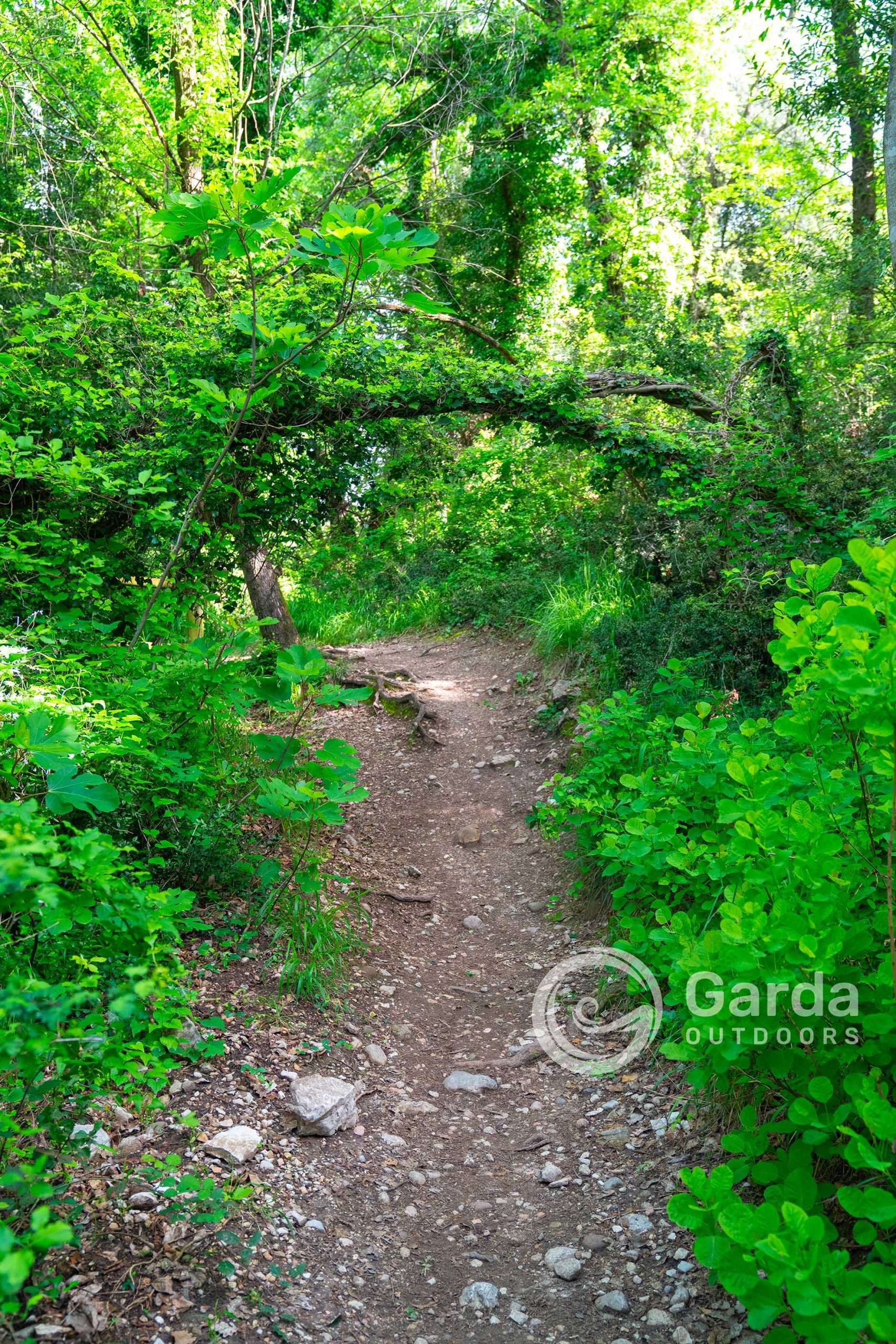
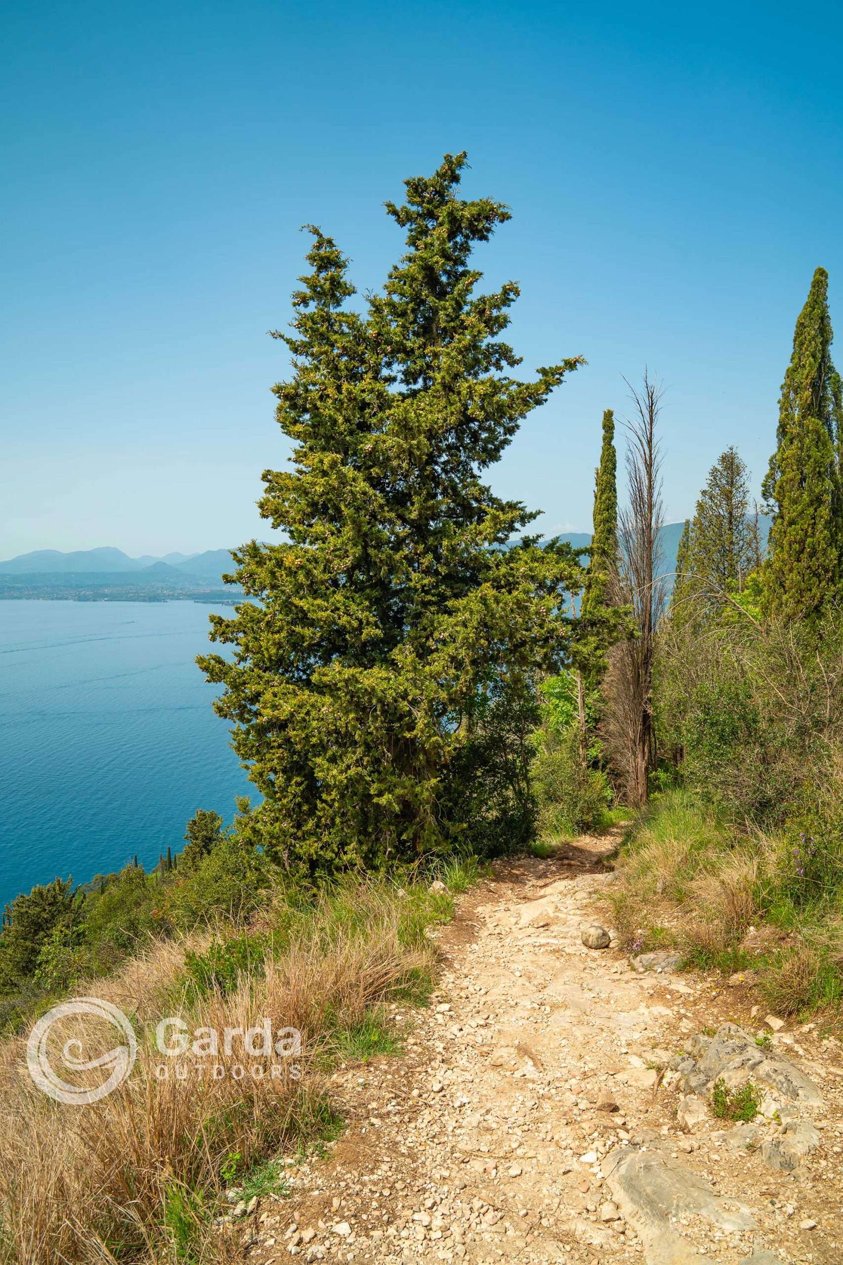
After the first panoramic stop, continue north on the path which slowly immerses itself in the woods…
… and bam! Shortly afterwards you already come across the first graffiti called Griselle stone. There is no sign indicating it, but it is easy to identify.
This was one of the first engraved stones discovered in the area by Professor Pasotti in 1964. Various themes appear on this rock carved in different eras: from late Iron Age weapons to nineteenth-century boats whose ladders, griselle, give this rock its name. The prominent element is given by a short sword, perhaps a dagger, which is connected to a composition of armed human figures, ithyphallic praying figures, circular figures (perhaps solar symbols) and other unidentified symbols.
✨ Live Lake Garda: Unique Experiences Handpicked for You
I am Warda, the AI Travel Designer for Garda Outdoors. Tell me who you are travelling with, your dates and passions. I will create a magical custom itinerary for you.
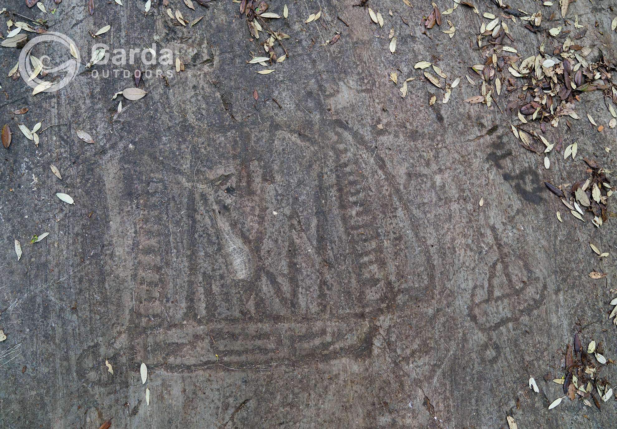
Shortly afterwards we find the stone of the Knights: one of the most spectacular figurative compositions of Benacenza which, however, over the years, has been the subject of vandalism. It takes its name due to the presence of twelve men on horseback wearing helmets with long plumes and carrying weapons that can be traced back to spears. These knights are perhaps commanded by a thirteenth, engraved a little further away from the group and difficult to read. The conformity of the engravings leads one to think that all the figures are contemporary with each other and belong to the same scene, perhaps immortalizing the passage of some platoon of knights in the territory.
Panoramic trekking from Monte Bre, to Monte Are, up to Monte Luppia
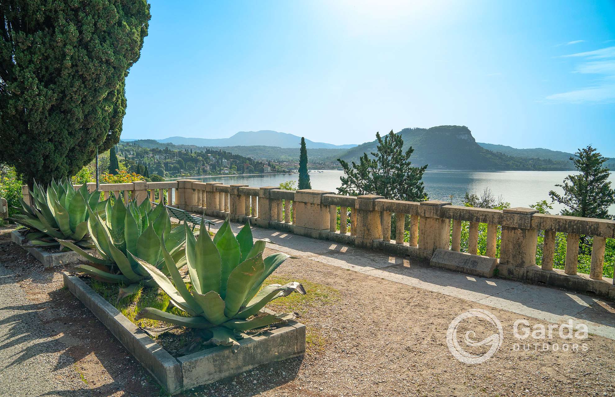
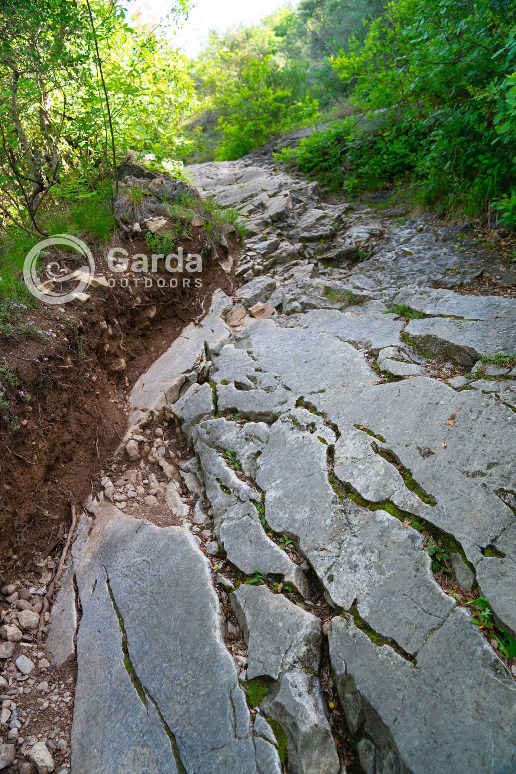
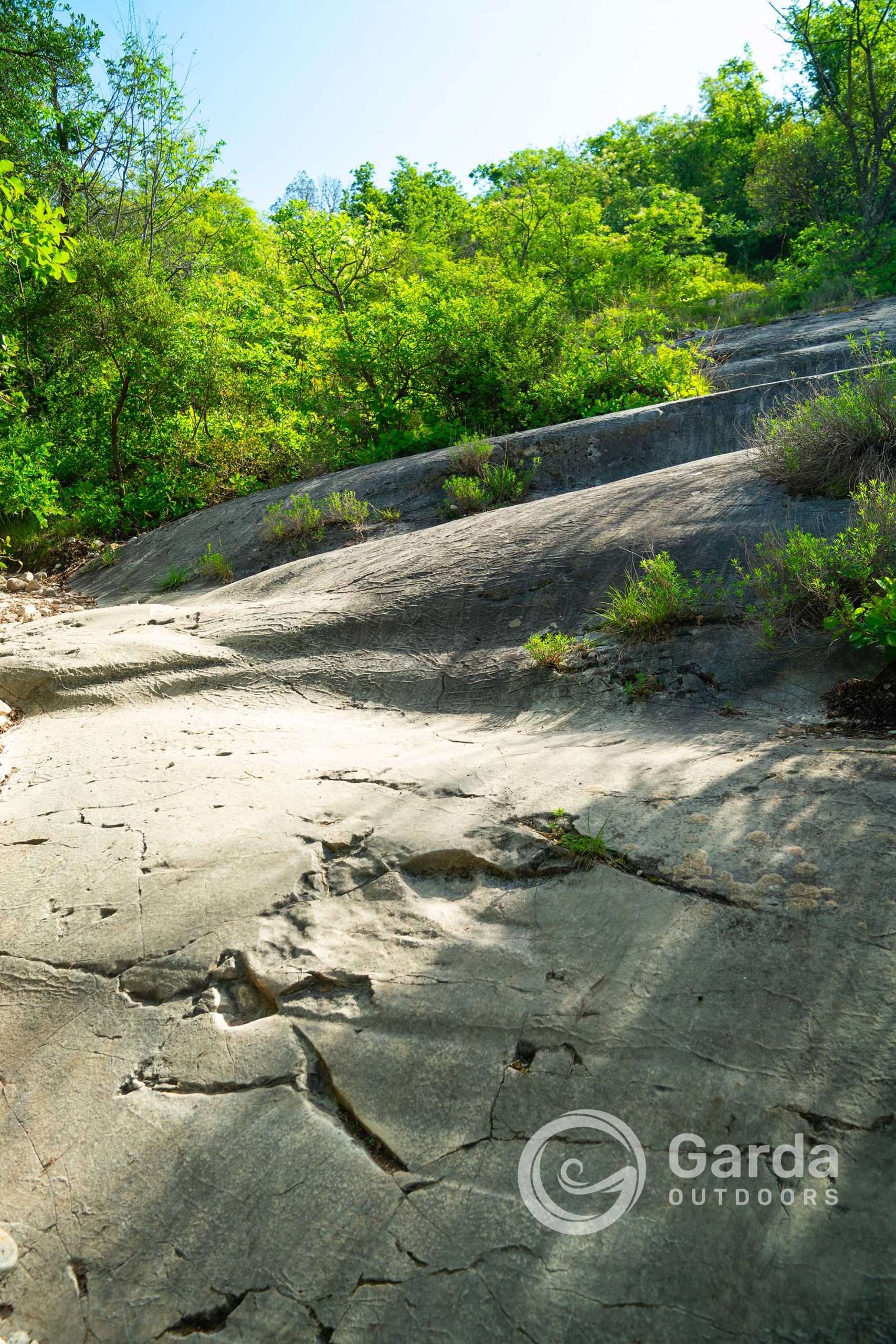
After walking over many Liscioni -smooth stones- (a name that identifies the rocks smoothed on the surface by the action of glaciations in the Quaternary) you arrive at a crossroads in the middle of the woods. Keep right. It will feel like you are reversing, but in reality after a short while you will curve up an invigorating climb until you reach a beautiful natural panoramic terrace from which you can admire Punta San Vigilio with the Rocca di Manerba which stands opposite on the other bank.
Always continue uphill keeping to the right (i.e. staying on the path that runs parallel to the edge of the mountain, more precisely Monte Bre – 303 m – and Monte Are – 372 m -).
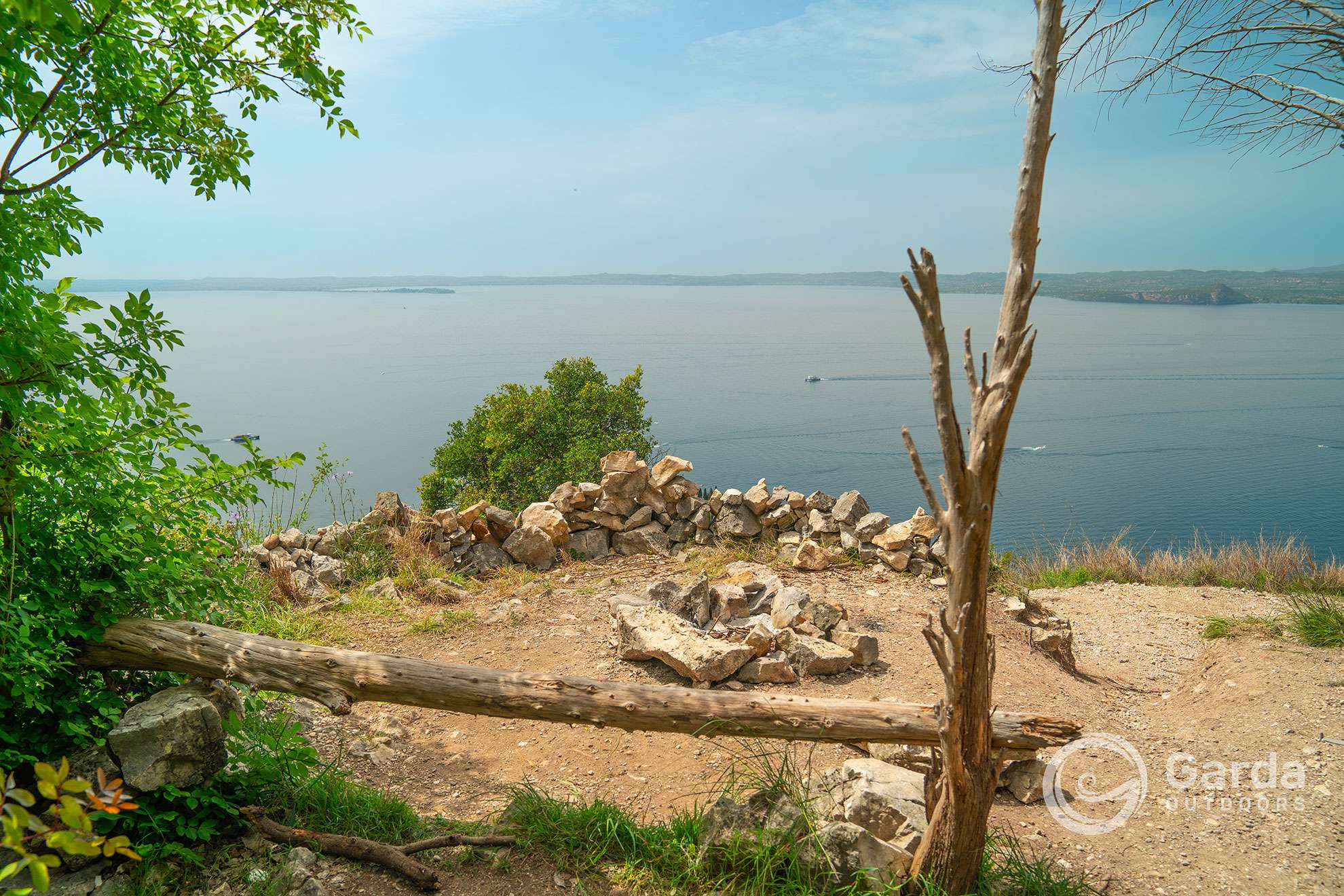
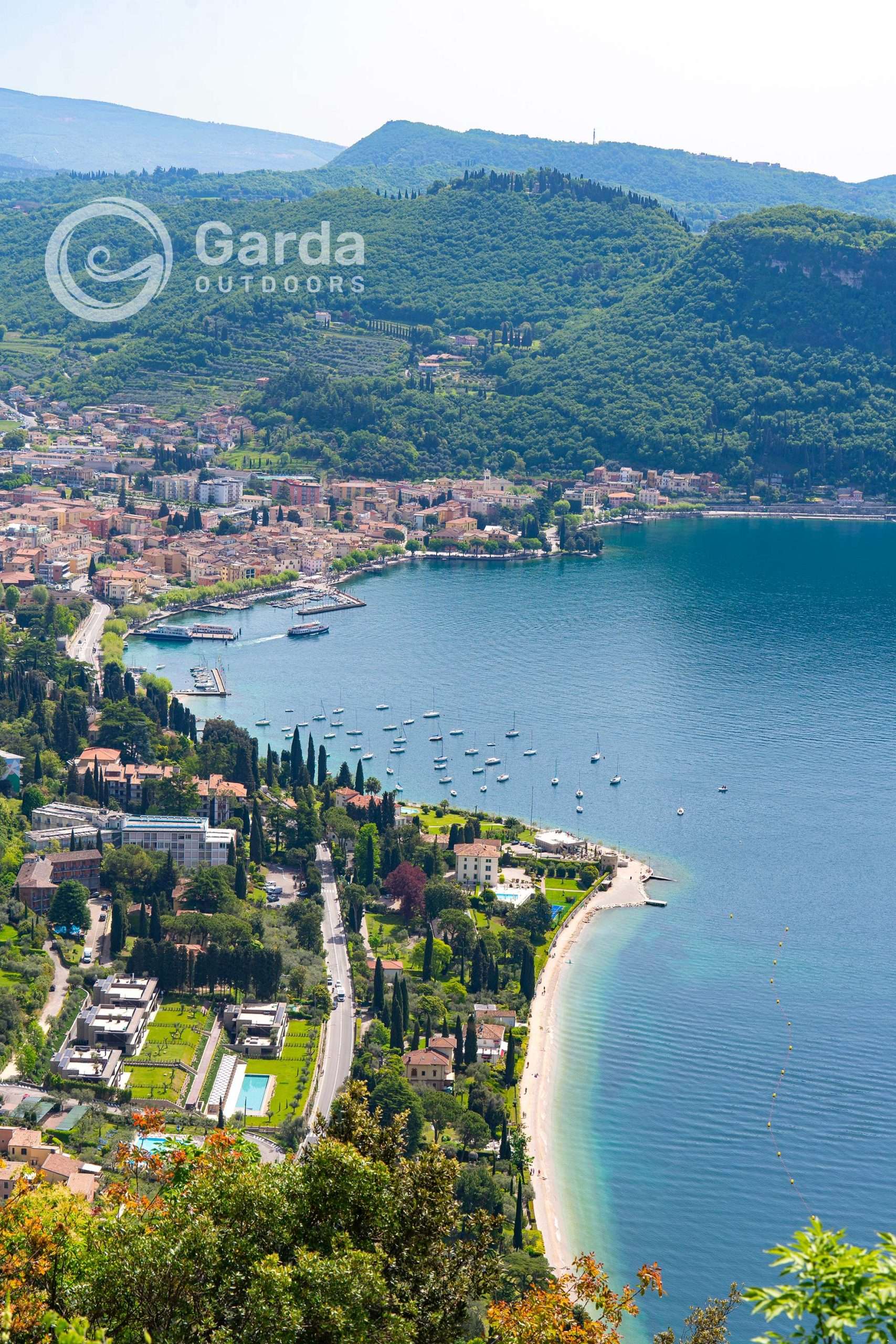
Be careful because here you will find a real maze of paths and you “risk” climbing deeper into the woods. After a short while the highest and most breathtaking view of the entire trip opens up: a crazy view of the entire gulf of Garda, with its hills, the Rocca, spanning the entire perimeter of the lake up to the Sirmione peninsula.
The path then continues, really entering the woods until reaching the top of Mount Luppia – 416 m –, which does not have a panoramic view because the vegetation is high and dense. Therefore, if you are only interested in the view, you can stop at the last viewpoint described above.
We then return via the same road.
The return travel time to the top of Mount Luppia is approximately 3 hours with a height difference of 350 m.
If, however, you stop at the last panoramic view, it becomes about 2 hours return, with a height difference of 250 m.
Variant
Taking the Graffiti path, you can continue straight along the path that continues halfway up the hill, taking you first to Albisano and then to Crero (both hamlets of Torri del Benaco).
Also near Crero there are other rock engravings, called “the Big Rock of Crero”: they are from various periods, not clearly identifiable, and are arranged on the rock face without a precise order, perhaps connected to each other through alphabetical letters, symbols solar panels, border crosses, human figures and quadrupeds.
To return, take the same road and, once you arrive in Albisano, continue towards Località le Sorte where you will find the sign, along the asphalt road, indicating the path that leads to Monte Luppia. Then descend from the panoramic path described above, which passes from Monte Are to Monte Bre, until it rejoins the first stretch of the Graffiti path.
The overall tour is approximately 20 km long, with a height difference of 350 metres.
If instead of continuing to Crero, you stop at Località le Sorte, the tour is just over 9 km long, always with a difference in altitude of 350 metres.
Useful information and where to park
The path cannot be tackled with simple sneakers as it crosses smooth and slippery rocks, surfaces that have been slightly damaged by the rain and steep slopes in some short stretches. We therefore recommend using trekking shoes.
It can also be used by families with children, but be careful of the exposed panoramic sections.
We also inform you that unfortunately the indications of the paths are very sporadic and in several places even absent. A nice GPS map can save you from some route errors.
If you do the short tour you can park in the convenient S. Vigilio paid car park (near Punta San Vigilio).
In low season it is likely that you will find a couple of free parking spaces on the right side of the panoramic terrace above the indicator, in correspondence with a small recess, or, taking Via Castei, after a few tens of meters you will find another small recess on the side of the road .
If you do the variations you will find parking in both Crero (for a fee) and Albisano (for free).
I conclude with a “sad reality” that I hope will raise awareness among all of us: unfortunately in the various clubs I have noticed various acts of vandalism. Scratches, scribbles and initials, made carelessly and without respect (even over ancient engravings!). Personally, at this level, I don’t find the meaning either artistic or even romantic.
Let’s teach the new generations that you can “leave your mark” even without getting dirty.
See you next time dear Outdoors!
Silvia Turazza
Choose where to stay, where to eat, and which experiences to have on Lake Garda
Visit the Garda Outdoors marketplace and discover the best deals for your stay here. You’ll find a world of opportunities!