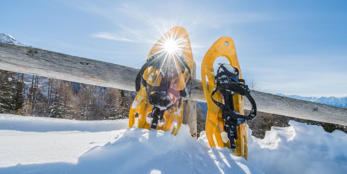
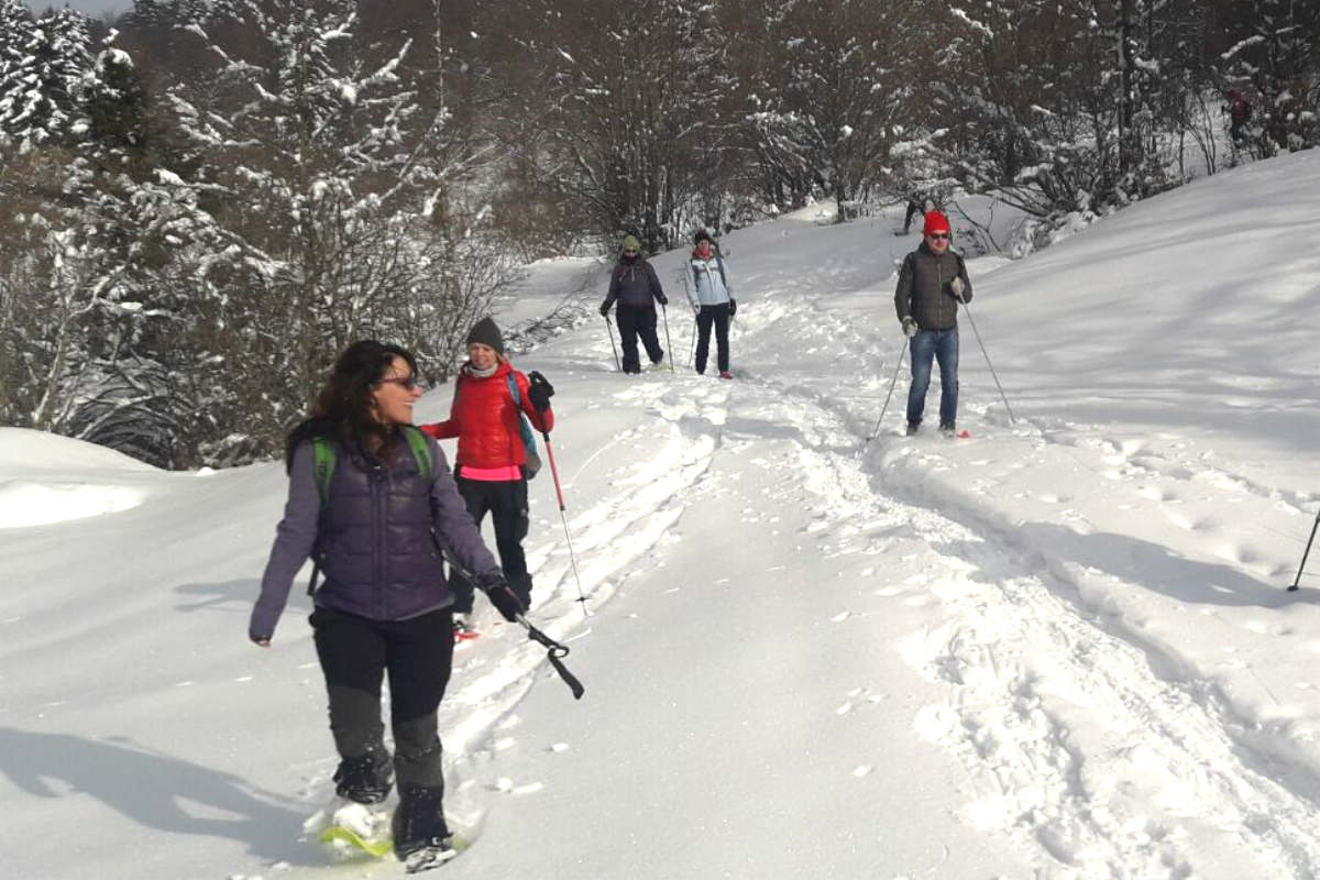
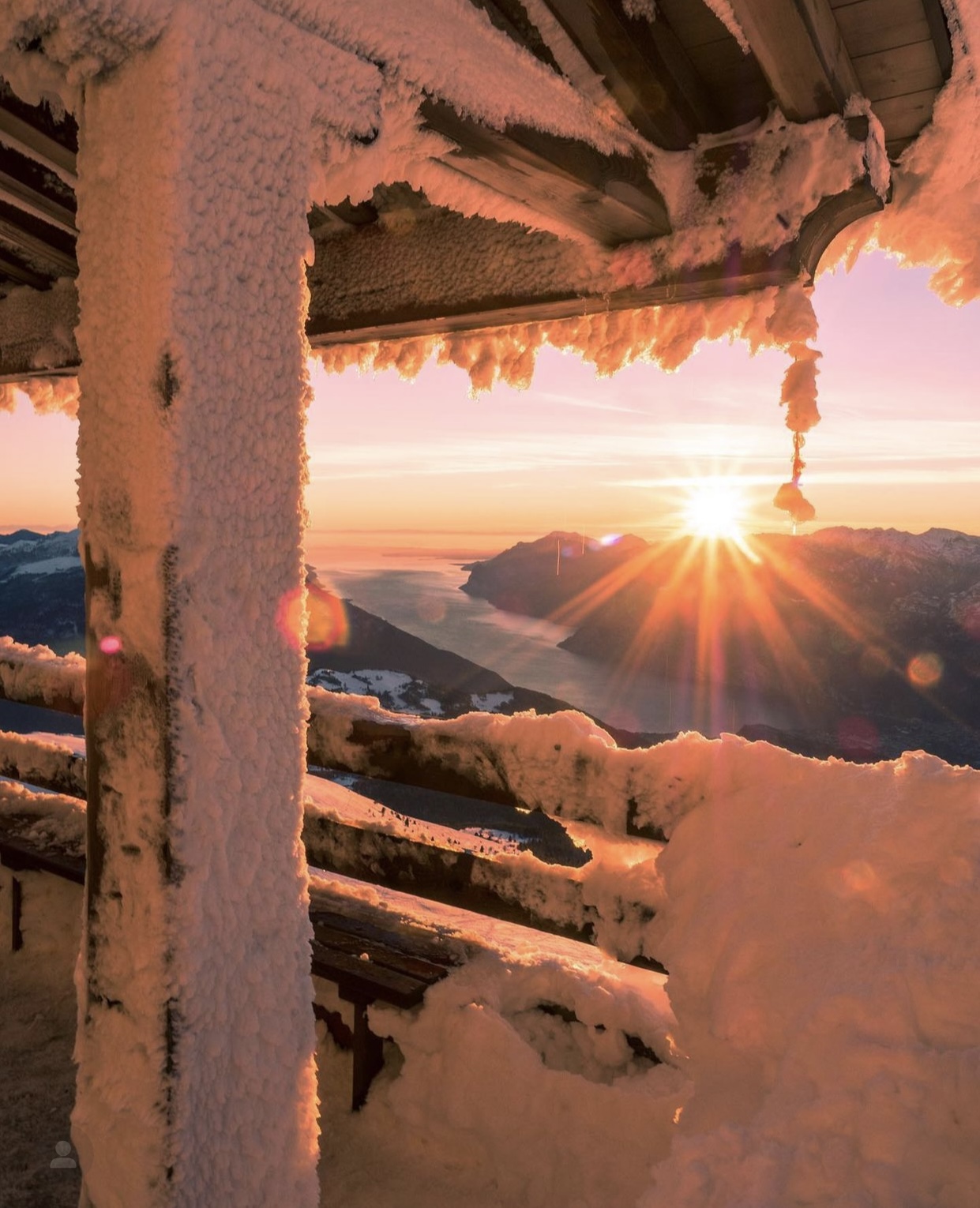
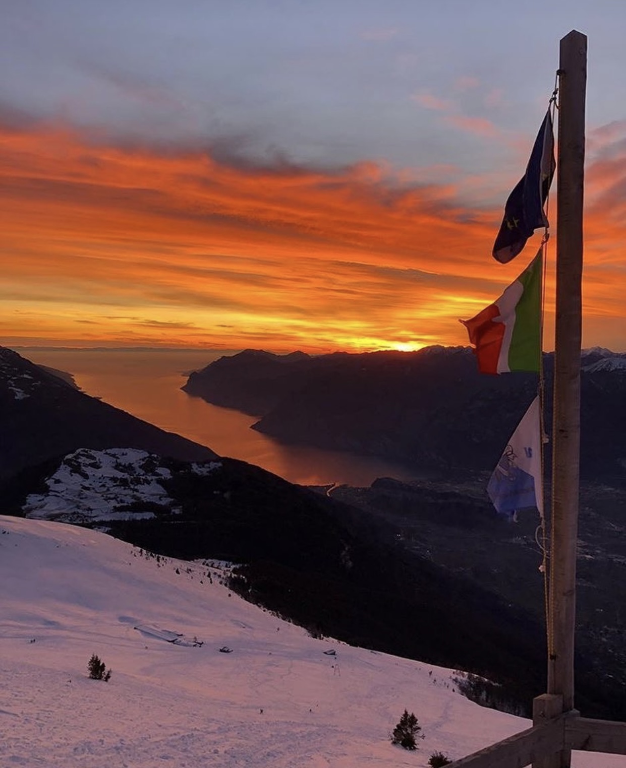
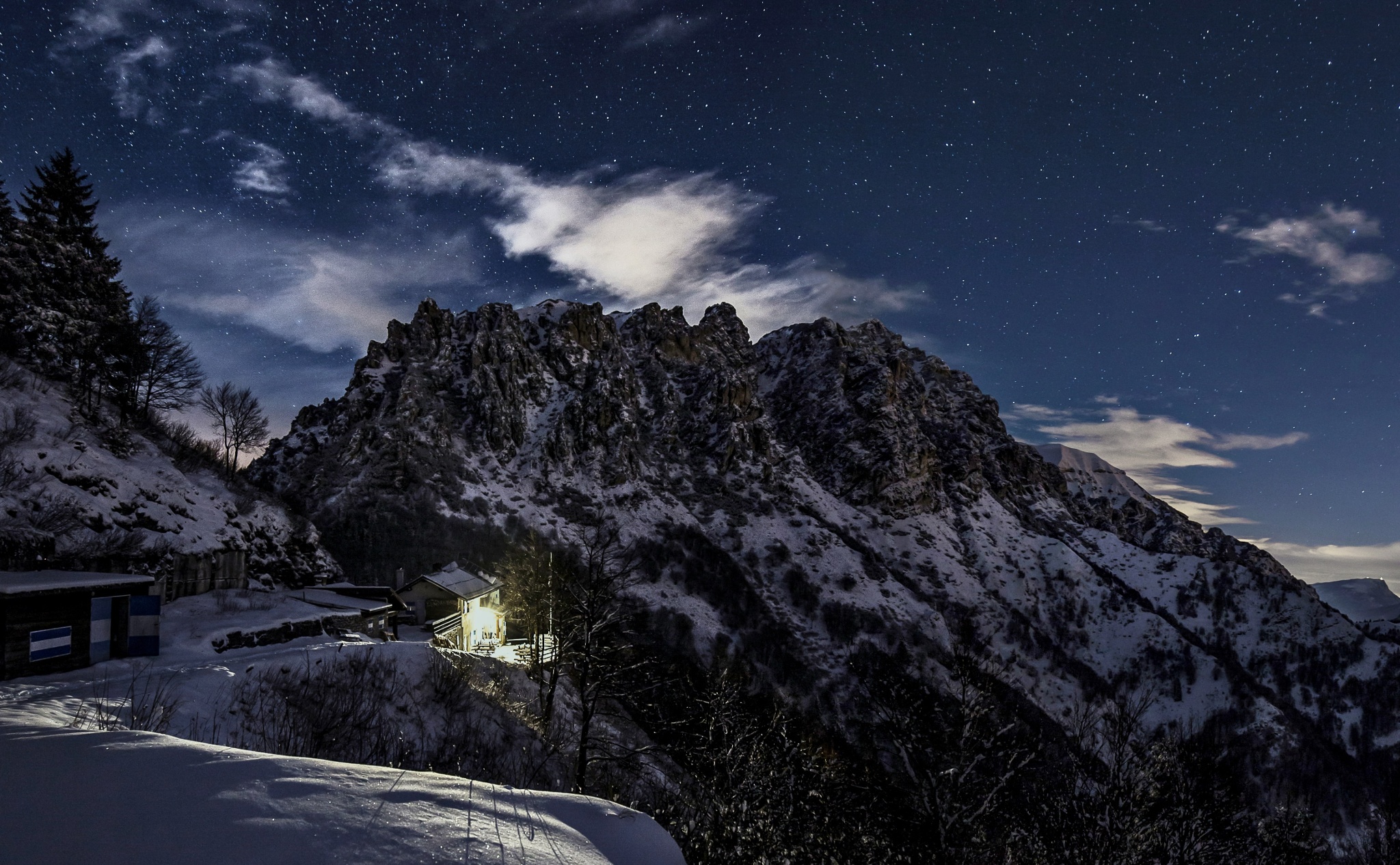
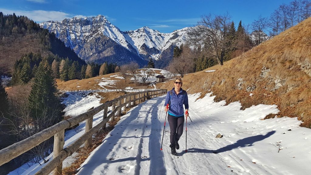
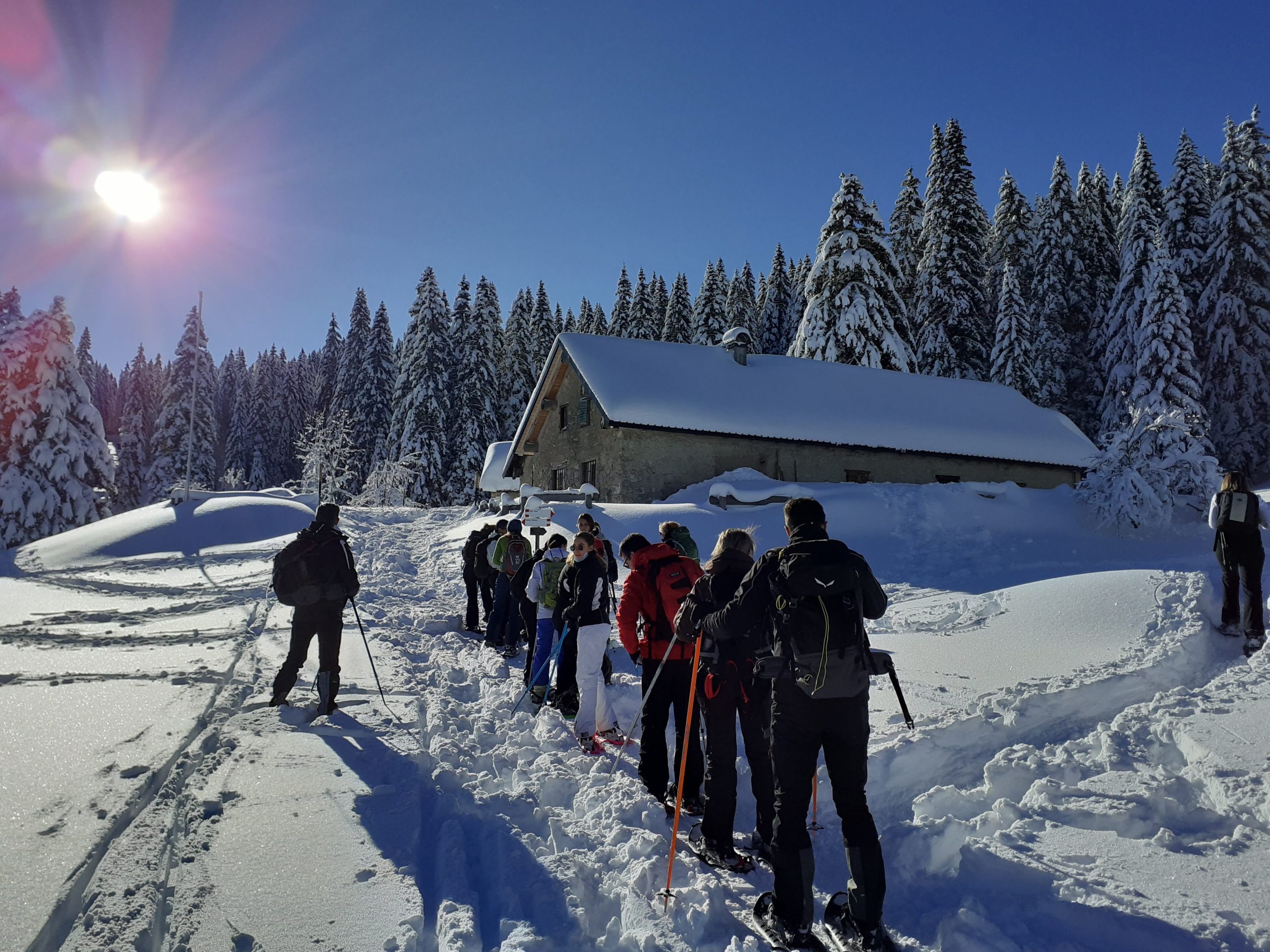
The first snow has finally arrived! One of the best ways to enjoy it is certainly to venture out on a healthy and fun snowshoe hike. And our beloved Lake Garda has them all: beach in summer and snow in winter! Many panoramic paths from which to admire its blue from the top of the mountains that surround it.
Here is our list of the best routes overlooking the lake and its surroundings:
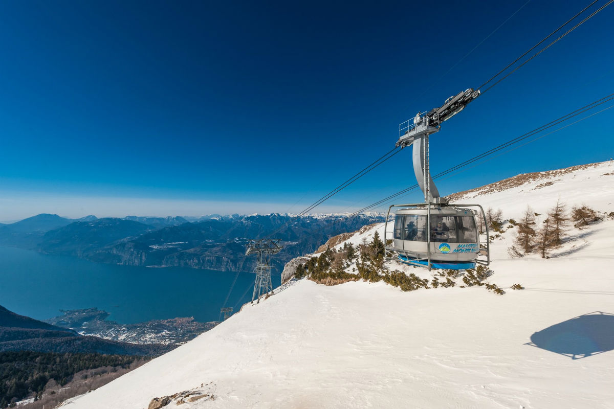
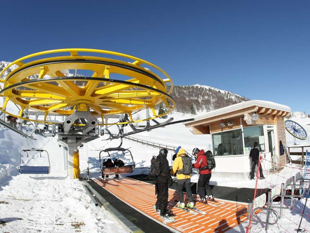
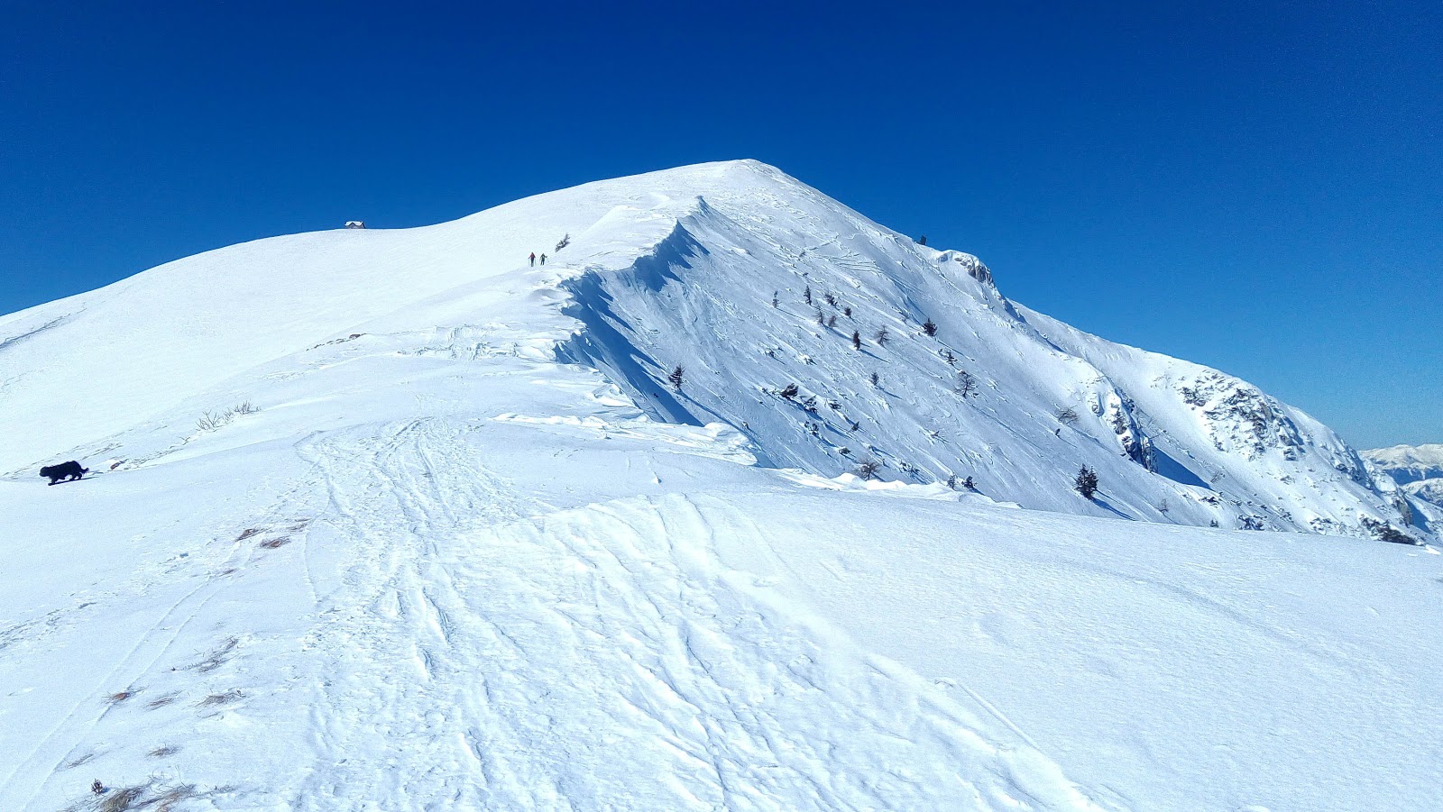
Monte Baldo – departure from San Michele station.
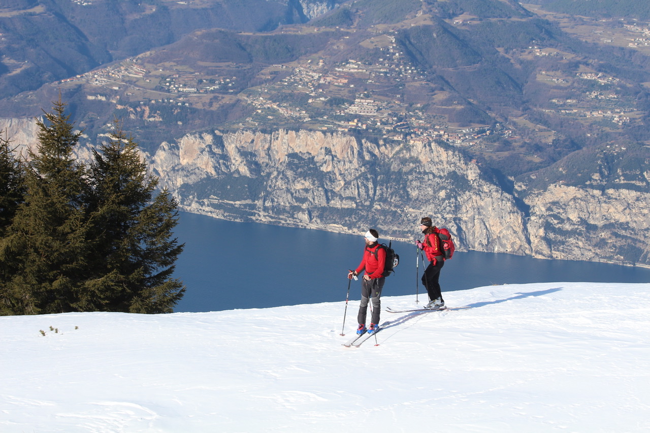
Monte Baldo, king of the Garda mountains, could not miss the first place. We advise you to drive up from Malcesine to the intermediate station of San Michele della Malcesine cable car – Monte Baldo. There you will find an unpaved parking lot and the starting point of the path that will lead you to Tratto Spino (that is, to the panoramic point of arrival of the cable car. If the cable car is open, you will also find the mountain huts open). Attention, at a certain point the path forms a crossroads: if you continue to the left you pass by Località Prai and you will reach the top in less time, if you continue to the right you go uphill in the middle of the wood. This allows for a nice loop ride with breathtaking views across the lake. Always check the weather/avalanche risk bulletin.
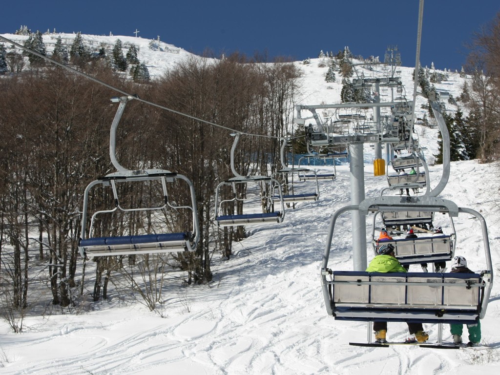
Monte Baldo – departure from the Prà-Alpesina car park.
You can also go up to Monte Baldo from the car park of the chairlift Prà-Alpesina . Right from there starts the path that takes you to the top, at the arrival of the chairlift, to enjoy the spectacular panorama. Short and easy hike. Always check the weather/avalanche risk bulletin.
✨ Live Lake Garda: Unique Experiences Handpicked for You

I am Warda, the AI Travel Designer for Garda Outdoors. Tell me who you are travelling with, your dates and passions. I will create a magical custom itinerary for you.
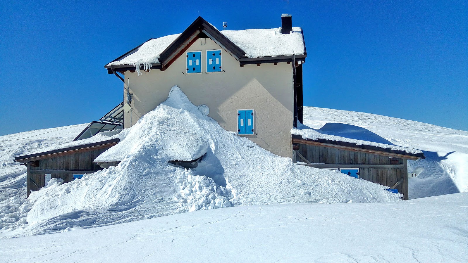
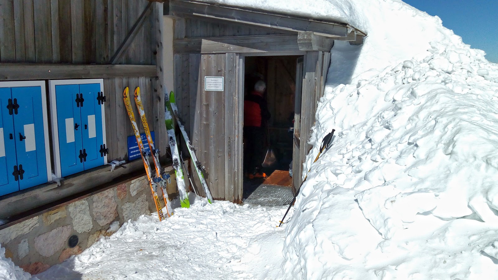
Rifugio Fiori del Baldo and Cima Costabella.
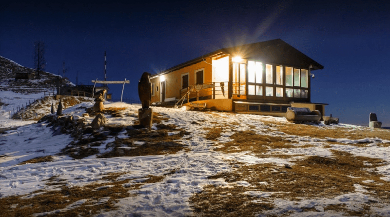
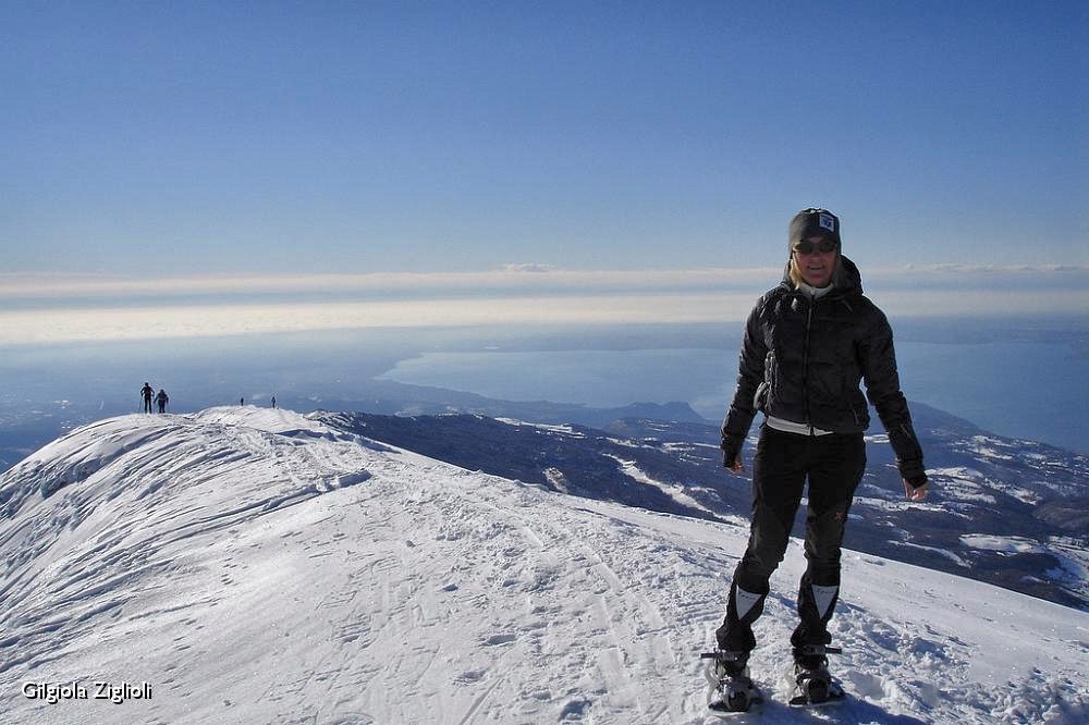
Prada, a small fraction of San Zeno di Montagna located at 935 m a.s.l., is the starting point for this beautiful excursion. From here, take the asphalt road to Naole (usually covered with snow in the middle of winter) which leads to Sengia (about 1,300 m) where it ends in a clearing. The route then continues on a dirt forest road in the woods which leads almost to the crest of the mountain. Here the vegetation thins out and then disappears and leaves room for vast panoramas of Lake Garda. Continuing halfway up you reach the Fiori del Baldo refuge (tel. 045 686 2477) at an altitude of 1842 metres. From here, turn left and climb the coast up to Cima Costabella at 2055 m. On the most favorable days, the views will be truly exciting, spanning the entire Po Valley, Lessinia, the Brenta Dolomites, the Adamello and Presanella groups and the entire Lake Garda. There are also those who go up the slope of the disused ski slopes: the climb is thus more tiring and passes between the residual pylons of the ski lifts. The descent, however, turns out to be more fun because it is steeper and more direct. Always check the weather/avalanche risk bulletin.
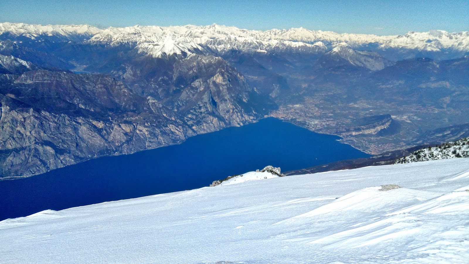
Mount Altissimo and Damiano Chiesa Refuge.
This peak offers one of the most incredible views of Lake Garda, especially of the Busa Trentina and the mountain ranges behind it. To get there you can start from the Rifugio Graziani (if the road is passable and clean), from San Giacomo, from Valentine’s Day of Brentonico or from above Nago. it is a fairly intense snowshoe hike/walk and suitable for those who are already trained. Once you arrive, at the Rifugio Damiano Chiesa you can enjoy an excellent meal based on mountain specialties and also find accommodation for the night. Always check availability and the weather/avalanche risk bulletin.
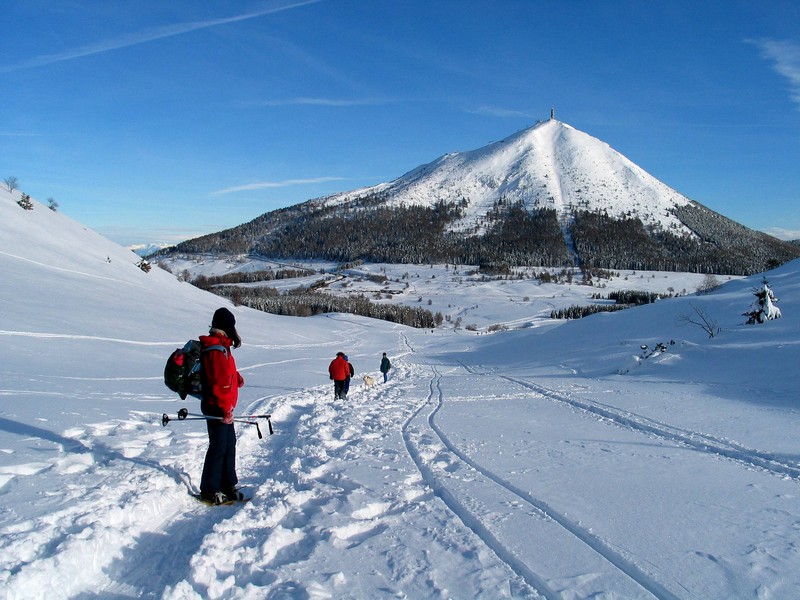
Monte Stivo and the Prospero Marchetti refuge.
Park just above Passo S.Barbara (reachable from the SS88 of Val di Gresta) in loc. S.Antonio (1,231 m a.s.l.), passed a riding school. From here you have to follow the SAT 608B signs, first on a paved road and then on a dirt road. You leave the wood at the saddle at an altitude of 1,480 m, and from here you can always continue along the road in the direction of Malga Stivo. Continue on the ridge at an altitude of approximately 1,900m up to the last traverse section which leads to Rifugio Prospero Marchetti (signposted with wooden poles). The summit is just 50m vertical above the structure.
In total, it’s 8 km round-trip for about 3 hours and 30 minutes.
Always check availability at the refuge and the weather/avalanche risk bulletin.
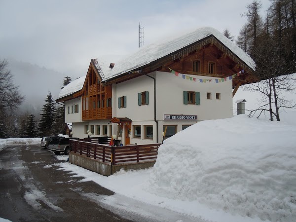
The Viote del Bondone.
The Viote plain is a sort of plateau at the base of the Tre Cime del Bondone. To the west it is bordered by a long ridge called La Rosta, which constitutes an easy but highly panoramic half, with a really limited difference in height. The Viote del Bondone can be reached from Trento or Lasino (make sure the road is not closed after Lagolo due to avalanche danger). Find ample paid parking near the Centro Fondo or across the road at the Viote Hut (Strada delle Viote, 6 – Trento – Tel 0461 947131) . It starts in a south/south-west direction along the SAT 607 path which runs alongside the peat bog, up to Malga Fragari, then takes the small road that remains in the impluvium of the Val d’Eva, up to Bocca di Vaiona at an altitude of 1697m. From here, turn right (north) on the ridge following the SAT 618 path which leads to the top of La Rosta. Going downhill, if you want to take the shortcut, you initially return along the ascent route and then descend directly into the dense wood (east direction) until you come out in the meadows below.
Easy snowshoe hike of about 5 km round trip to be covered in 2 hours.
Always check the weather/avalanche risk report.
Ledro Valley and Nino Pernici Refuge.
It is a demanding snowshoe hike that leads from the valley floor to the Rifugio Nino Pernici (1,600 m a.s.l.) , open on holidays and winter weekends. It has 30 beds and is a convenient departure and arrival point for excursions to discover the beautiful ridges and peaks that surround it. The Pernici Refuge was built to house the Austrian officers engaged on the front in the First World War, the so-called White War. Today snow is no longer synonymous with hardship and death, but with beauty and fun! It can be reached from the SS240 of the Val di Ledro up to Pieve, from where follow the signs for Lenzumo (786 m). You can park under the church of Lenzumo. From the car park, go down Via alla Vasca and turn left into Via dell’Albertoca. At the sawmill, take the road that leads to Malga Trat. Continue to Bocca di Trat and there take the path to Rifugio Pernici.
It’s about 16.5 km of round-trip route with an 800 m difference in altitude that can be covered in 6 hours.
A less tiring alternative is to start from Malga Grassi, above Riva del Garda.
Always check the availability of the refuge and the weather/avalanche risk bulletin.
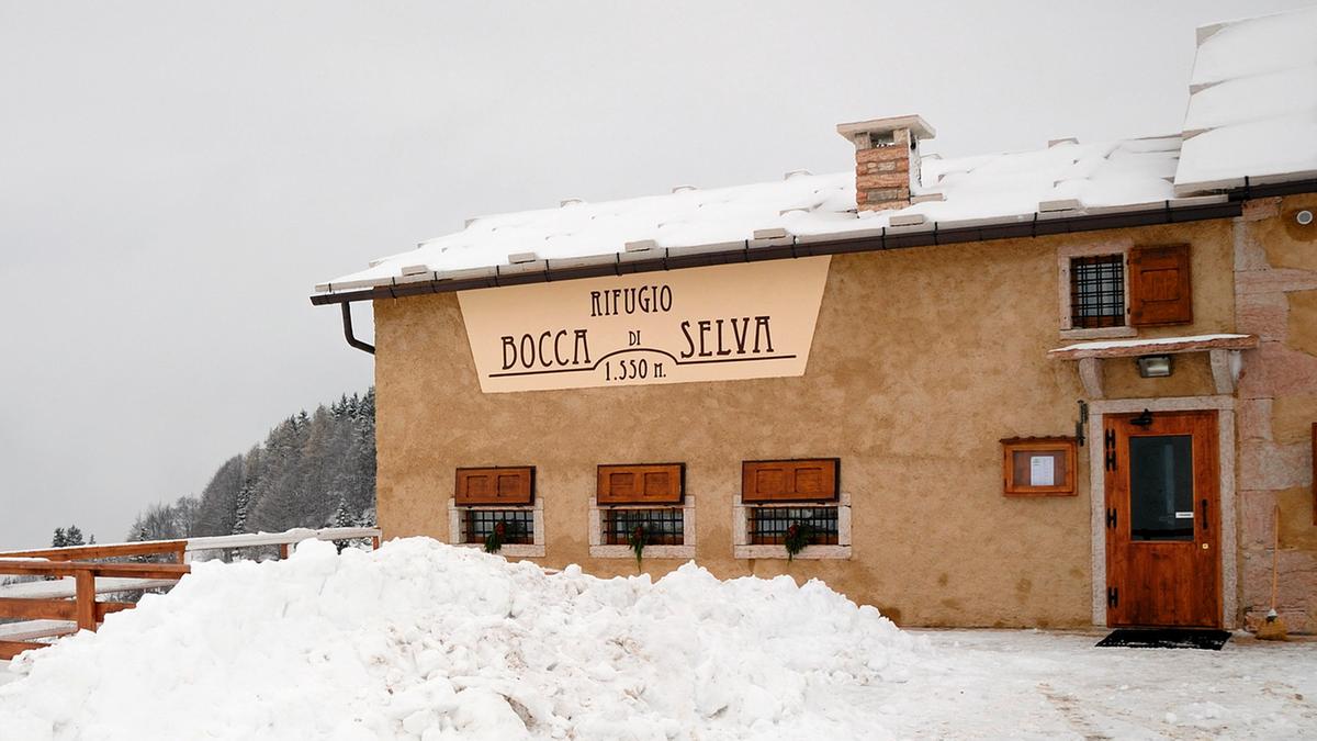
Alta Lessinia.
The Rifugio Bocca di Selva (1,550 m a.s.l.) is an ideal starting point for winter excursions in the Lessinia Natural Park. In addition to using the traced paths that connect the refuges of Alta Lessinia, you can go on snowshoes over immaculate hillocks and valleys, among suggestive and enchanting winter landscapes. It is certainly a new way of experiencing the mountains, easy and fun, which allows you to enjoy the tranquility and harmony of the woods under the snow, the muffled silence of the mountain in its winter guise; discover secret landscapes, follow in the footsteps of deer, chamois or hares. It is an excellent opportunity to spend a day immersed in nature.
Always check the weather/avalanche risk bulletin.
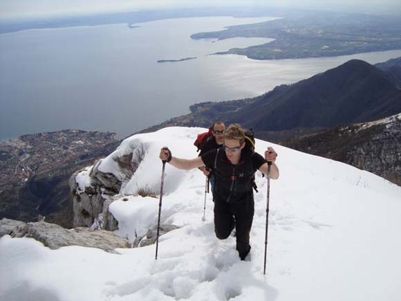
Mount Pizzocolo.
Mount Pizzoccolo offers a wide panorama of Lake Garda from its Brescia side. The summit is easily accessible even if the difference in height should not be underestimated (about 780 m). It starts from Sant’Urbano at an altitude of 800 m, usually on foot, except in exceptional years. Following trail number 11, take the dirt road that passes the church until you reach an altitude of 1,200 m. A trail sign indicates Malga Valle (1,331 m), here you leave the dirt road and continue left into the woods. Once you reach the malga, leave it on the left and carry on, still in the woods, up to a hill. Now, following trail n.5 in an easterly direction, you reach the summit of Monte Pizzocolo. The views of Garda, Monte Baldo and the Adamello group are splendid. On the clearest days you can also enjoy a wide view of the Apennines and the Piedmontese Alps. Return along the ascent route.
Total duration of the snowshoe hike about 5 hours.
Always check the weather/avalanche risk report.
Do you just want to think about having fun surrounded by nature with a personalized route managed in total safety by specialized guides?
Contact the magical XADVENTURE team to book your snowshoeing or ski mountaineering excursion (click here)!
See you next time dear Outdoors!
Silvia Turazza – Garda Outdoors editorial staff